What is recorded here
Standing stone in Newtowncunningham stands 1.63m high on good land, with a large slab beside it and smaller stones around its base. It is the kind of place where people may have marked ownership, prayed, remembered death or simply watched the sky turn above Donegal. Some stones are not mysteries but witnesses, holding human life steady long after the names have faded.
A standing stone 1.63m high × 1m wide × 0.75m thick; N-S. There is a large slab, c. 1.1m × 1.15m, lying beside it and some boulders and small slabs surround its base. Some, at least, are the result of field clearance. Situated on good land, on a level shoulder generally rising to E.
The above description was derived from the 'Archaeological Survey of County Donegal. A description of the field antiquities of the County from the Mesolithic Period to the 17th century.' Compiled by: Brian Lacey with Eamon Cody, Claire Cotter, Judy Cuppage, Noel Dunne, Vincent Hurley, Celie O'Rahilly, Paul Walsh and Seán Ó Nualláin (Lifford: Donegal County Council, 1983). In certain instances the entries have been revised and updated.
Date of upload: 22 September 2008
The monument record does not grant public access. Check the route and ask the landowner before entering private land.
- What survives
- Recorded monument
Places near here
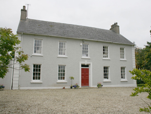 Ballyhasky Househouse · 643 yd
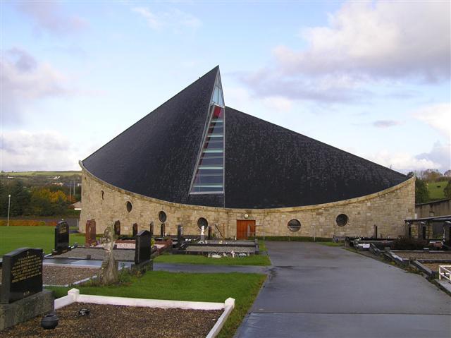 All Saints Catholic Churchchurch/chapel · 856 yd
 Former Monfad Fairy FortFairy fort / ringfort · 955 yd
 Former Main Plaster EnclosureEnclosure · 1162 yd
 CastleCastle, unclassified · 1.1 mi
 Burt CastleCastle, tower house · 2.0 mi
 Emmery Celtic CrossWood · 2.6 mi
 Grianán of AileachFairy fort / stone ringfort · 4.0 mi
 Greenan MountainMountain / peak · 4.0 mi
 King's GraveArchaeological place · 4.9 mi
 Mullanadee ShoreBeach / strand · 5.2 mi
 RowanRowan · 5.4 mi