What is recorded here
Fairy fort / ringfort in Newtown (delvin By.) is a fairy fort or ringfort in Newtown (delvin By.), County Westmeath, Ireland. Situated on top of a high steep-sided oval-shaped hill in low-lying wet grass-land, the site offers good views to the south, west, and north. The 1837 OS Fair Plan map depicted it as a circular-shaped enclosure annotated as a fort. Almost completely levelled and largely removed by quarrying, the poorly preserved possible ringfort survives only as a short segment of scarp with an average height of 2.1 metres at the west-northwest, while the rest of the site is pitted with quarry holes and burrows.
Situated on top of a high steep-sided oval-shaped hill, in low-lying wet grass-land. Good views to S, W, and N. Poorly preserved remains of a possible ringfort that has been largely removed by quarrying. Depicted on the 1837 OS Fair Plan map as a circular-shaped enclosure and annotated on map as ‘fort’. This monument has been almost completely levelled. All that remains is a short segment of scarp (average H 2.1m) at WNW. Elsewhere the site is pitted with quarry holes and burrows.
Compiled by: Frank Coyne and Caimin O'Brien
Date of upload: 14 September 2018
The monument record does not grant public access. Check the route and ask the landowner before entering private land.
- What survives
- Recorded monument
Places near here
 Partially hachuredFairy fort / earthen ringfort · 474 yd
 Shinglis CourtCastle, unclassified · 1457 yd
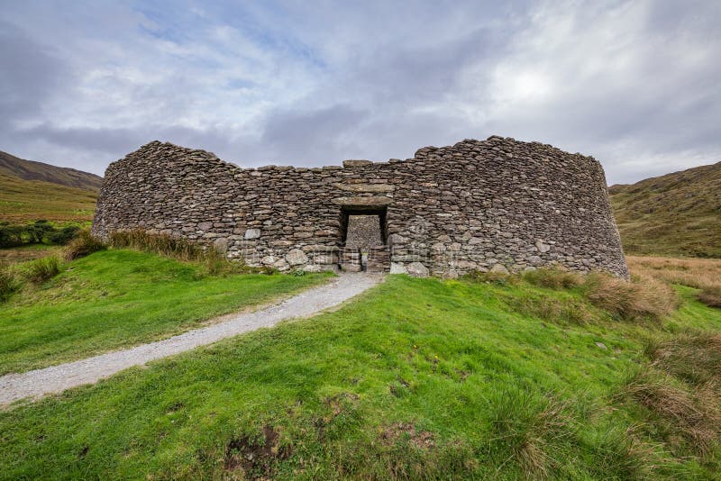 Fairy fort / ringfort in ShinglisFairy fort / ringfort · 1.0 mi
 Corran IslandIslet · 1.3 mi
 Cloncullen Househouse · 1.6 mi
 Flour MillWater mill, vertical-wheeled · 1.6 mi
 Plary Monastery (in Ruins)Castle, tower house · 1.9 mi
 Guest ServicesVisitor information · 3.3 mi
 Craft WorkshopHeritage attraction · 3.3 mi
 Sessile OakSessile Oak · 3.3 mi
 Noughaval CemeteryArchaeological place · 3.4 mi
 Target WoodWood · 3.8 mi