Places near here
Photo credits
- National Inventory of Architectural Heritage
- Kmcnamee, Wikimedia Commons · CC BY-SA 4.0
- Kieran Campbell, Wikimedia Commons · CC BY-SA 2.0
- Wayne77, Wikimedia Commons · CC BY-SA 3.0
- Maker named on the Wikimedia Commons picture page · CC BY-SA 2.5
- Mike Searle, Geograph · CC BY-SA 2.0
- PatWhelehan, Wikimedia Commons
- Sheila1988, Wikimedia Commons · CC0
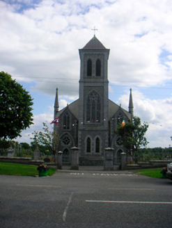 Catholic Church of the Most Holy RedeemerChurch/chapel · 1699 yd
Explorer Tom Catholic Church of the Most Holy Redeemer in Ballymore is having a feud with the next village over whose church looks…
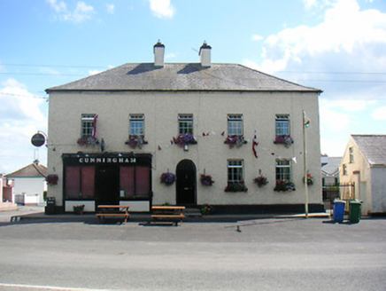 CunninghamHouse · 1.0 mi
Explorer Tom Cunningham house in Ballymore has a tombstone that would read 'resting comfortably with excellent timber shopfronts'.…
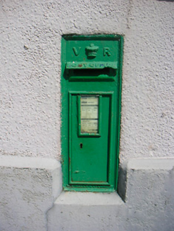 post box1.0 mi
Explorer Tom Post box in Ballymore brags about surviving a storm so big it blew the roof off the next door, which is unlikely but…
 Fr. Daltons GAA pitchGAA ground · 1.9 miBallymore GAA pitchGAA ground · 1.9 mi
 CastleCastle, motte and bailey · 3.3 mi
Explorer Tom Dunnamona's motte is in a bitter feud with the next village over about who invented the perfect way to eat potatoes…
 Japanese pagoda tree4.0 mi
Explorer Tom Japanese pagoda tree in County Westmeath was once ruled by a goat who decided it had the best view of the grazing land…
 Sessile Oak4.8 mi
Explorer Tom Sessile Oak in County Westmeath is standing there looking distinctly smug, probably judging your life choices from its…
 Laragh CastleCastle · 6.1 mi
Explorer Tom Laragh Castle is a McGeoghan tower standing next to a public road, judging every car that drives past with its…
 Burgess ParkPark · 11 mi
Explorer Tom Burgess Park gives Athlone a green stretch on the east bank of the River Shannon, with paths and a playground close to…
 Luan GalleryGallery · 11 mi
Explorer Tom Luan Gallery sits beside the Shannon in Athlone, close to the castle and town bridge, so it has already arranged a…
 Historic Town - Athlone Castle & Church of St Peter and PaulVisitor information · 11 mi
Explorer Tom Whoever built Athlone Castle was clearly thinking about how to make the church look good in bad weather, which is oddly…
More historic places in County Westmeath · All of County Westmeath

What do you know about this place?Tap to add a comment or ask a question