What is recorded here
That is a fairy fort, an earthen ringfort in Na Huláin Thiar, County Cork. It stands in reclaimed pasture on a south-facing slope, an oval area forty metres east-west and thirty-two metres north-south. A gap four metres wide faces north-northwest, forming the gateway. The interior is uneven and waterlogged in parts, with a raised stone structure at the centre.
In reclaimed pasture, on S-facing slope. Oval area (40m E-W; 32m N-S) defined by earthen bank (int. H 0.9m) SW->ESE; steep scarp elsewhere, faced with some large stones. Bank topped by stone field fence SW->N; gap (Wth 4m) to NNW forms gateway. External fosse (D 0.6m) SW->WNW; drain follows line of fosse WNW->ESE, heavily overgrown. Interior uneven and waterlogged in parts; raised on S side to compensate for hillslope. Stone structure (c. 8m N-S; 6m E-W) at centre of interior, heavily overgrown; wall (H 1.2m; Wth 1.6m; L 4m), which appears to curve, forms E side; possible Man-made underground passage (CO058-061002-) in interior.
The above description is derived from the published 'Archaeological Inventory of County Cork. Volume 3: Mid Cork' (Dublin: Stationery Office, 1997). In certain instances the entries have been revised and updated in the light of recent research.
Date of upload/revision: 14 January 2009
The monument record does not grant public access. Check the route and ask the landowner before entering private land.
- What survives
- Recorded monument
Places near here
 CairnCairn, unclassified · 393 yd
 Fulacht fia in Na Huláin ThiarFulacht fia · 513 yd
 Church in Baile Mhic ÍreChurch · 1295 yd
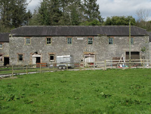 Home Farmfarmyard complex · 1657 yd
 KnockullaneMountain / peak · 1.2 mi
 Cnoc na nUlánMountain / peak · 1.2 mi
 Kealaboane WoodWood · 1.4 mi
 Castle (Site of)Castle, unclassified · 1.5 mi
 Cascade WoodWood · 1.6 mi
 CastleCastle, unclassified · 2.6 mi
 European long distance path E8 - part IrelandWalking route · 3.0 mi
 Sli Gaeltacht MuscraiWalking route · 5.1 mi