What is recorded here
In pasture, located on top of a ridge, with a fall of ground to E, S and W. The location provides good views from S−NE along the curving course of the Sonnagh River, which lies c. 80m to S, and also to W and NW over a flat expanse of bog.
This possible rath is shown on the 1837 OS 6-inch map as an oval, embanked enclosure; by the time of the 1919 edition the E half had been levelled and it is depicted as a semi-circular hachured area (diam. c. 35m NW−SE), open to the E. It has been entirely levelled, but the ephemeral outline of a sub-circular area (39m N-S; 37m E-W) can be discerned at ground level. According to the local information, it was originally enclosed by an earthen bank.
There may be a Man-made underground passage (MA062-122002-) in the interior (SMR file: pers. comm. M. Ruane 1991).
Compiled by: Jane O’Shaughnessy
Date of upload: 26 January 2021
The monument record does not grant public access. Check the route and ask the landowner before entering private land.
- What survives
- Recorded monument
Places near here
 Enclosure in Killeen (costello By., Kilbeagh Par.)Enclosure · 1419 yd
 handball alleyhandball alley · 1645 yd
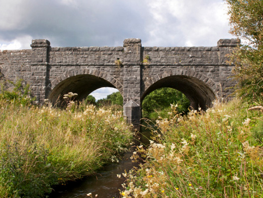 Sonnagh Bridgebridge · 1665 yd
 IndicatedFairy fort / stone ringfort · 1.0 mi
 Brabazon WoodsForest · 3.8 mi
 Procession Of The SoulsMemorial · 3.8 mi
 Youth Memorial GardenMemorial · 4.2 mi
 HawthornHawthorn · 4.7 mi
 Thorn CaveCave · 6.1 mi
 Castle (in Ruins)Castle, tower house · 7.0 mi
 Rath Castle in ruinsCastle, tower house · 7.2 mi
 Old Cave Burial GroundArchaeological place · 7.4 mi