What is recorded here
In pasture, located in gently undulating terrain overlooked to SE–S by a low heather-covered ridge. There is a road, leading to a commercial quarry at S, 20m to E. Roughly circular area (37m E-W; 40.5m N–S) enclosed by a low, sod-covered stony rise/stone bank. The width and height of the stone bank is uneven, its irregular appearance contributed to by the addition of field clearance stones, especially on the S arc. On the NE arc the stone bank is evident as a broad low rise (Wth 2m at NW, 4.5m at NE; int. H 0.4m; ext. H 0.4m, at W) covered in hummocks of grass. Two extant drystone field walls traverse the NW and E edges of the enclosure, intersecting immediately to N of the site; the eastern wall serves as the townland boundary. At W a short remnant of an older field wall abuts the enclosing stone bank. The interior is level and not noticeably raised. There is a small, partly sod-covered heap of field clearance stone in the S half.
In pasture, located in gently undulating terrain overlooked to SE–S by a low heather-covered ridge. There is a road, leading to a commercial quarry at S, 20m to E. Roughly circular area (37m E-W; 40.5m N–S) enclosed by a low, sod-covered stony rise/stone bank. The width and height of the stone bank is uneven, its irregular appearance contributed to by the addition of field clearance stones, especially on the S…
From the National Monuments Service (Archaeological Survey of Ireland) record MA062-119
The monument record does not grant public access. Check the route and ask the landowner before entering private land.
- What survives
- Recorded monument
Places near here
Photo credits
- John Lucas, Geograph · Creative Commons Attribution-ShareAlike 2.0
- National Inventory of Architectural Heritage
- Didier Descouens, Wikimedia Commons · CC BY-SA 4.0
- Pamela Norrington, Geograph · CC BY-SA 2.0
- JohnArmagh, Wikimedia Commons · CC BY-SA 3.0
- David Purchase, Geograph · Creative Commons Attribution-ShareAlike 2.0
- Paul Cowan, Wikimedia Commons · CC BY-SA 2.0
 Saint Joseph's Catholic ChurchChurch/chapel · 1.4 mi
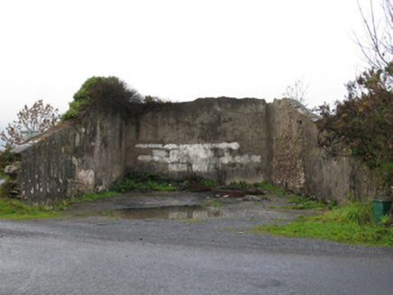 handball alley1.7 miProcession Of The SoulsMemorial · 3.2 miYouth Memorial GardenMemorial · 3.6 mi
 Hawthorn4.6 miThorn CaveCave · 5.1 miHawthorn5.2 miCastle (in Ruins)Castle, unclassified · 5.5 mi
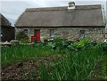 Hennigan's Heritage CentreHeritage attraction · 5.7 mi
 Round Tower6.2 mi
 Grave YardGraveyard · 7.2 mi
 Knock ShrineHeritage attraction · 9.9 mi
More archaeology and monuments in County Mayo · All of County Mayo
What do you know about this place?