
What is recorded here
Forty feet of forgotten earth stood beside the River Finn when the first surveyors drew its curve in 1836. The railway arrived later, biting through the ancient bank and deleting the fort from every map made after that wound. What remains is a shallow semicircular scar in excellent farmland, perhaps nothing but a truncated shadow of the rath that once occupied the land.
Indicated on the 1836 OS 6-inch map as ‘Fort’ and shown as a semi-circular arc of bank curving E−S, this appears to represent the remains of a rath truncated by field boundaries at W and N. It is not shown on later map editions, and appears to have been cut later in the 19th century by a railway line. It is recorded in Lacy (1983, 213) as follows: ‘A slightly raised semicircular platform 20-25m in diameter seems to be the remains of the 'Fort' shown on the 1st edition of the OS 6-inch map. It is situated in excellent land on the banks of the River Finn.’
Date of revised upload: 10 April 2018
The monument record does not grant public access. Check the route and ask the landowner before entering private land.
- What survives
- Recorded monument
Places near here
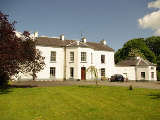 Edenmore Housecountry house · 604 yd
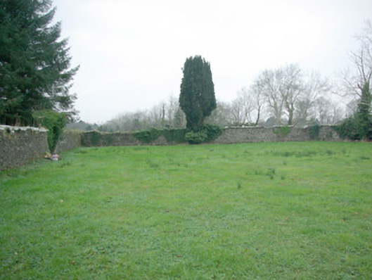 St. Joseph's Community Hospital and Homegraveyard/cemetery · 627 yd
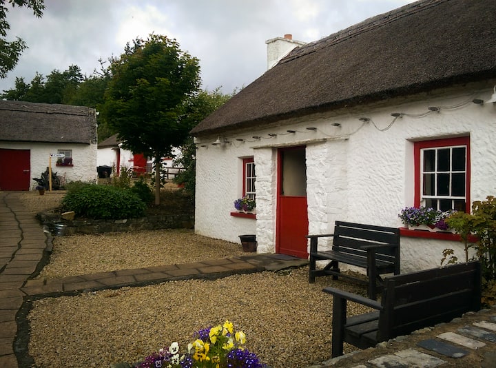 Enclosure in Glebe (stranorlar Ed)Enclosure · 991 yd
 Holy WellHoly well · 1059 yd
 Castle (Site of)Castle, unclassified · 1.0 mi
 Drumboe WoodForest recreation place · 1.1 mi
 Site of CastleCastle, unclassified · 3.0 mi
 Lismullyduff MountainMountain / peak · 3.9 mi
 Gorey HillMountain / peak · 4.8 mi
 Newmills Corn and Flax MillsHeritage attraction · 9.0 mi
 Battle of Scarrifholisbattle · 9.1 mi
 Killeter ForestForest · 9.4 mi
Other information
Photo: Credit not shown in the picture search · Rights wording not checked; contact us if this picture should be removed