What is recorded here
Described and illustrated in Gough's edition of Camden's Britannia (1789) as circle of sixteen small tumuli, each about four feet high. A single tumulus (No. **36:15) stood to the N of these. Located near the standing stone (No. **36:17) and barrows (Nos.**).
Date of upload: 5 September 2016
A Neolithic burial mound; part of a group of small tumuli described in 1789. Its significance lies in its early documentation and potential association with a broader ceremonial or funerary landscape including a nearby standing stone.
The monument record does not grant public access. Check the route and ask the landowner before entering private land.
- What survives
- Recorded monument
Places near here
 Enclosure in MullamastEnclosure · 281 yd
 Standing stone (present location) in MullamastStanding stone (present location) · 294 yd
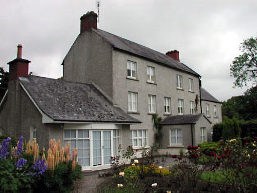 Mullamast Housefarm house · 436 yd
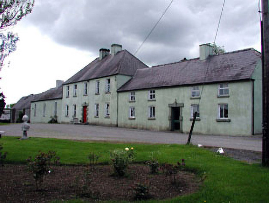 Boakefieldfarm house · 1327 yd
 Burtown House and GardensHeritage attraction · 1.3 mi
 CrookanurnWood · 1.7 mi
 Narraghmore WoodWood · 1.9 mi
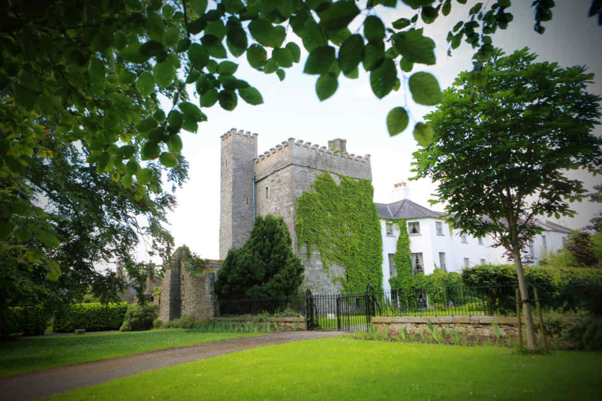 CastleCastle, unclassified · 2.3 mi
 Inch CastleCastle, tower house · 2.7 mi
 Gorden Bennet Race memorialMemorial · 3.0 mi
 History of Moat of ArdscullVisitor information · 3.0 mi
 Battle of Kilrushbattle · 3.7 mi