What is recorded here
Fifty-five metres of vanished border still holds its shape beneath the soil of County Kildare, waiting for dry summer air to reveal its edges. The land may have served ordinary farms or hidden a castle's inner life, yet human hands drew that line and later released it back to grass. Memory lives in the absence, forcing imagination to complete what forgetting removed.
Aerial photograph (CUCAP AYL 84) shows cropmark of a rectangular area (est. dims. c. 55m x c. 55m) defined by a fosse. Possibly an old field or might have been an enclosure associated a possible castle site (KD036-018----). No visible surface trace survives.
Date of upload: 5 September 2016
The monument record does not grant public access. Check the route and ask the landowner before entering private land.
- What survives
- Recorded monument
Places near here
 Standing stone (present location) in MullamastStanding stone (present location) · 335 yd
 Enclosure in MullamastEnclosure · 354 yd
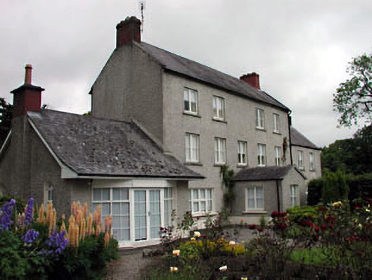 Mullamast Housefarm house · 369 yd
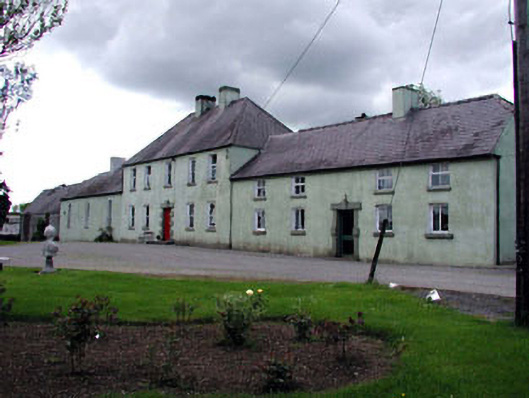 Boakefieldfarm house · 1254 yd
 Burtown House and GardensHeritage attraction · 1.3 mi
 CrookanurnWood · 1.7 mi
 Narraghmore WoodWood · 1.9 mi
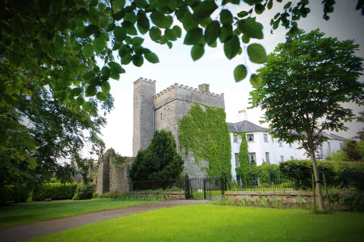 CastleCastle, unclassified · 2.3 mi
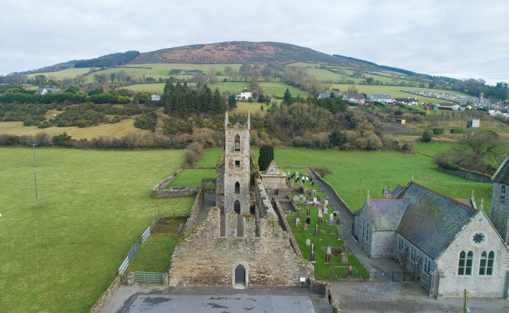 Ballycore RathCastle, motte and bailey · 2.8 mi
 Gorden Bennet Race memorialMemorial · 3.0 mi
 History of Moat of ArdscullVisitor information · 3.0 mi
 Battle of Kilrushbattle · 3.7 mi