What is recorded here
Mullaghrafferty is called a fairy fort because people believed the fairies lived there, though it may have been an ordinary ringfort where humans once lived. On McCrea’s map of 1793 it appears as a circular earthwork on a knoll near the crossroads and Montana House, but no one can now point to the exact spot. Perhaps the ring vanished under grass or was never more than a shadow on the land. What remains is the idea that the place belonged to someone else, and that someone is still watching from beneath the soil.
Depicted on McCrea’s map of Co. Monaghan (1793) as a circular earthwork on a knoll c. 200m NE of the cross-roads and in the vicinity of Montana House, but its precise location cannot be identified.
Date of revised upload: 28 June 2017
The monument record does not grant public access. Check the route and ask the landowner before entering private land.
- What survives
- Recorded monument
Places near here
 Mentana Househouse · 344 yd
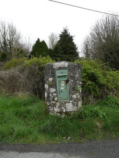 post boxpost box · 352 yd
 Crannog in DrumboCrannog · 1694 yd
 Man-made underground passage in Killark (farney By.)Man-made underground passage · 1751 yd
 Tree IslandWood · 1.4 mi
 Lagan castleCastle, tower house · 1.7 mi
 Flat cemetery in AnnaheanFlat cemetery · 2.1 mi
 BarleyhillMountain / peak · 2.3 mi
 The MountCastle, motte and bailey · 2.4 mi
 Monkey-puzzleMonkey-puzzle · 3.1 mi
 Natural Play AreaMemorial · 3.5 mi
 CabraMountain / peak · 3.6 mi