What is recorded here
Towards the bottom of the NE-facing slope of Fairymount Hill. Noted by Gannon (1972) it has been removed and is now visible as a circular grass-covered hollow (diam. 14m N-S; 14m E-W) defined by a low scarp (H 0.2-0.8m) down to the interior. It was conjoined with hut-site (RO014-067001-) immediately to the N, and cairn (RO014-066----) is c. 200m to the W.
Compiled by: Michael Moore
Date of upload: 24 August 2010
This remains an important historical record, but the official description says the monument is no longer visible or has been destroyed. The monument record does not grant public access. Check the route and ask the landowner before entering private land.
- What survives
- No visible remains or recorded as destroyed
Places near here
 Fairymount HillMountain / peak · 325 yd
 LisdrumneillArchaeological place · 498 yd
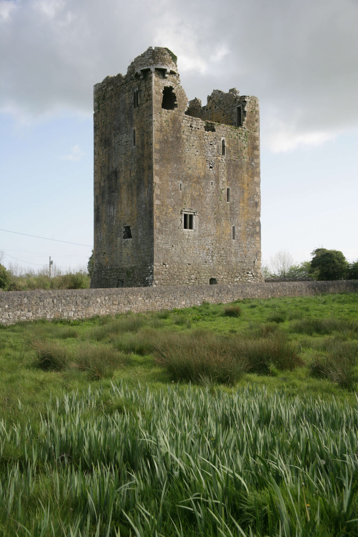 Embanked enclosureFairy fort / earthen ringfort · 770 yd
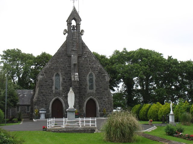 Catholic Church of the Sacred Heartchurch/chapel · 1117 yd
 Penitential station in Stonepark (frenchpark By., Fairymount Ed)Penitential station · 1717 yd
 Druminagh WoodForest · 1.7 mi
 TowerCastle, tower house · 3.4 mi
 Frenchpark Ho.Castle, unclassified · 3.6 mi
 Square WoodForest · 4.4 mi
 Clonalis HouseMuseum · 4.6 mi
 Bawn IslandIslet · 5.0 mi
 Silver IslandIslet · 5.7 mi