What is recorded here
Mullaghmacateer holds a forty-eight-metre earthen ring on a steep south-facing slope where wheat once grew inside its banks. The northern wall rose two metres high while the southern edge collapsed into a scarp, creating an uneven bowl that likely sheltered people before memory faded. A western entrance appeared modern and vanished by 1984, leaving the ancient earth to reclaim its own shape.
Located on a steep S-facing slope. This was recorded in 1967 as a circular area (diam. 48m N-S) planted in wheat that sloped down steeply to the S (H c. 3.5m) and was defined by a slight but overgrown earthen bank (at N: Wth 6m; int. H 2m; ext. H 0.1m) SW-N-ESE that was reduced to an external scarp (at S: Wth 2.6m; H 1.6m) elsewhere. The entrance (Wth of base 2.2m) at W was probably modern. It had been removed by 1984.
The above description is derived from the published 'Archaeological Inventory of County Monaghan' (Dublin: Stationery Office, 1986). In certain instances the entries have been revised and updated in the light of recent research.
Date of revision: 31 July 2017
The monument record does not grant public access. Check the route and ask the landowner before entering private land.
- What survives
- Recorded monument
Places near here
 IndicatedFairy fort / earthen ringfort · 347 yd
 Promontory fortPromontory fort, inland · 852 yd
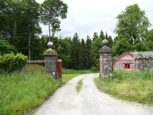 Lough Fea Housedemesne walls/gates/railings · 1.2 mi
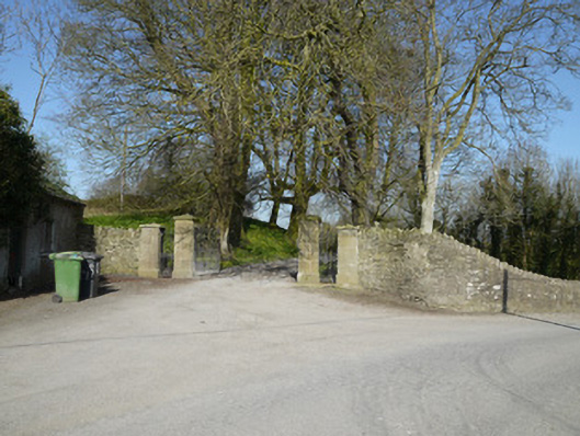 Ballymackney Housegates/railings/walls · 1.3 mi
 CastleCastle, motte and bailey · 1.9 mi
 Flat cemetery in AnnaheanFlat cemetery · 2.1 mi
 Monkey-puzzleMonkey-puzzle · 2.3 mi
 European BeechEuropean Beech · 2.5 mi
 BarleyhillMountain / peak · 4.0 mi
 Mannan Castle (in ruins)Castle, Anglo-Norman masonry castle · 4.3 mi
 In Memory of Our DadMemorial · 4.8 mi
 CabraMountain / peak · 5.0 mi