What is recorded here
Situated at the crest of a S-facing slope in a col, with slightly higher ground to the NW and E, and a NW-SE section of the River Dee is c. 300m to the SW. This is a boulder (dims 0..4m x 0.4m) has a portion of a basin (diam. 0.2m; D 0.15m) at one edge. The cross-base (ME005-068001-) and the fragment of a bullaun stone (ME005-068002-) are just to the S.
Compiled by: Michael Moore
Date of upload: 15 April, 2015
The monument record does not grant public access. Check the route and ask the landowner before entering private land.
- What survives
- Recorded monument
Places near here
 St. Patricks StoneCross · 2 yd
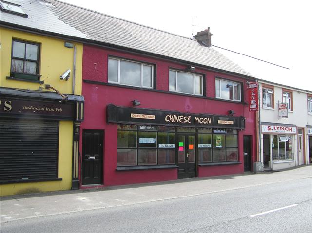 LisanarwerFairy fort / earthen ringfort · 519 yd
 Gallows HillMountain / peak · 522 yd
 European YewEuropean Yew · 789 yd
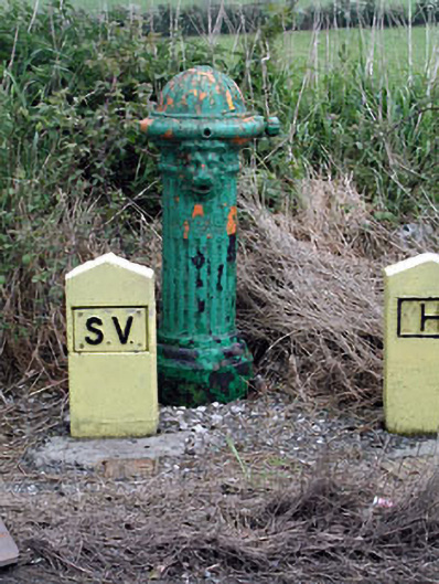 water pumpwater pump · 842 yd
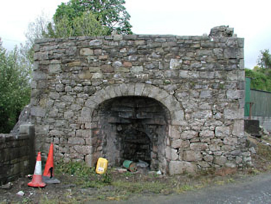 Bridge Farmkiln · 1108 yd
 Common LimeCommon Lime · 1269 yd
 MoatCastle, motte and bailey · 1311 yd
 Nobber GreenwayMemorial · 1624 yd
 Ugly HillMountain / peak · 2.4 mi
 Bawn in Robertstown (kells Lower By.)Bawn · 2.5 mi
 Owenroe and Moynalty DrainageMemorial · 3.4 mi