What is recorded here
Fairy fort / earthen ringfort in Moyvoughly is a fairy fort or earthen ringfort in Moyvoughly, County Westmeath, Ireland. A 1973 description records the site as a roughly circular area with a diameter of 46 metres, defined by a well-preserved scarp that is partially disturbed by quarrying at the north. The interior sits raised above the surrounding ground, with the surface rising gently from the perimeter toward the centre. Depicted on the 1837 edition Ordnance Survey six-inch map as a roughly circular, tree-lined earthwork, the monument also appears as a subcircular earthwork on Digital Globe aerial photography.
Situated on a rise, in well-drained pasture, with commanding views of the surrounding landscape. Depicted on the 1837 ed. OS 6-inch map as a roughly circular-shaped tree-lined earthwork. An enclosure (WM030-027----) lies c. 110m to NE. Monument described in 1973 as a roughly circular-shaped area (diam. 46m) which is defined by a well-preserved scarp which is partially disturbed by quarrying at N. The interior is raised above the surrounding ground level and the surface rises very gently from the perimeter toward the centre. Monument is clearly visible today on Digital Globe aerial photography as a subcircular-shaped earthwork.
Compiled by Alison McQueen, Vera Rahilly and Caimin O’Brien.
Date of upload: 08 November 2019
The monument record does not grant public access. Check the route and ask the landowner before entering private land.
- What survives
- Recorded monument
Places near here
 OutlinedEnclosure · 142 yd
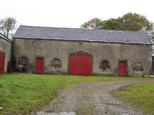 Moyvoughly Housestables · 454 yd
 Enclosure in MoyvoughlyEnclosure · 687 yd
 CastleCastle, unclassified · 1092 yd
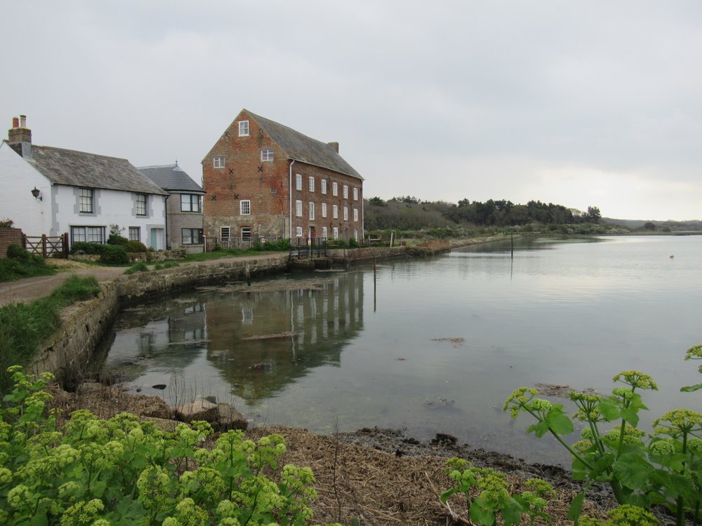
 Corn Mill, Tuck MillWater mill, vertical-wheeled · 1526 yd
 Site of Lissanode CastleCastle, unclassified · 1.7 mi
 Dún na Sí Heritage CentreMuseum · 2.8 mi
 Dún na SíMuseum · 2.8 mi
 Japanese pagoda treeJapanese pagoda tree · 2.9 mi
 Charles BianconiMemorial · 3.0 mi
 Moate HillMountain / peak · 3.1 mi