
What is recorded here
Moyvoughly Castle left a sub-rectangular shadow in Westmeath soil, visible still in aerial photographs and marked on the 1657 Down Survey maps. It vanished from later official mapping, denying the place the certainty most castles receive. What remains is a border between fact and forgetfulness, where earth remembers shape but name resists explanation.
Sub-rectangular shaped earthworks visible today on Digital Globe aerial photographs may be the remains of Moyvoughly Castle. The castle is depicted on the 1657 Down Survey maps of Rathconrath barony and Ballymore parish (NLI, MS 723-4). The castle is not depicted on any edition of the OS 6-inch maps.
Compiled by: Caimin O'Brien
Date of upload: 12 October 2016
Moyvoughly Castle was likely built in the 17th century, as indicated by its depiction on the 1657 Down Survey maps. It is remembered as an example of early modern fortifications in the Rathconrath barony area.
The monument record does not grant public access. Check the route and ask the landowner before entering private land.
- What survives
- Recorded monument
Places near here
 OutlinedEnclosure · 80 yd
 Enclosure in MoyvoughlyEnclosure · 433 yd
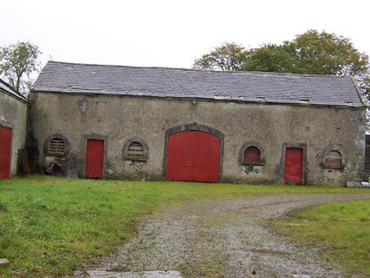 Moyvoughly Housestables · 1021 yd
 gates/railings/wallsgates/railings/walls · 1.2 mi
 Site of Lissanode CastleCastle, unclassified · 1.7 mi
 Japanese pagoda treeJapanese pagoda tree · 2.5 mi
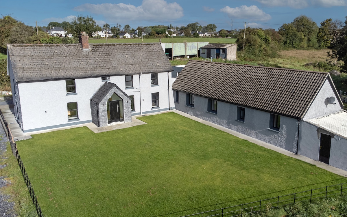 Bawn in DuneganBawn · 2.7 mi
 Dún na Sí Heritage CentreMuseum · 3.4 mi
 Dún na SíMuseum · 3.4 mi
 Charles BianconiMemorial · 3.6 mi
 Moate HillMountain / peak · 3.7 mi
Other information
Photo: Credit not shown in the picture search · Rights wording not checked; contact us if this picture should be removed