Places near here
Photo credits
- National Inventory of Architectural Heritage
- Golfing in Ireland; photographer not stated, Source publisher
- Willow, Wikimedia Commons · CC BY 2.5
 Shurock HouseDemesne walls/gates/railings · 514 yd
Explorer Tom Shurock House gates in Westmeath are named after a man who probably meant to say 'Sore Rock' but had bad handwriting.…
CastleCastle, unclassified · 644 ydExplorer Tom Castle in Baltrasna is deeply suspicious of the postman because he once delivered a bill for repairs that didn't exist.…
OutlinedFairy fort / earthen ringfort · 745 ydExplorer Tom Fairy fort or earthen ringfort in Killachonna is feeling a bit D-shaped today. It’s got a tree-lined vibe that says…
Partially hachuredFairy fort / earthen ringfort · 789 ydExplorer Tom Fairy fort or earthen ringfort in Tullybane sits on a rise claiming it’s older than the concept of time itself. I’ve…
IndicatedCastle, motte and bailey · 1.1 miExplorer Tom Castle in Labaun is doing its best impression of a sleeping giant on that glacial ridge, probably dreaming about the…
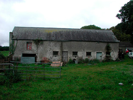 Ballynagarby HouseDairy, outbuilding · 1.2 mi
Explorer Tom Ballynagarby House is actually a dairy and outbuilding that thinks it’s famous because its coach house hosted Home Rule…
Dún na Sí Heritage CentreMuseum · 1.2 miExplorer Tom Dún na Sí in Moate puts a farmhouse, a forge and a reconstructed ringfort within one heritage park; that is a lively…
Dún na SíMuseum · 1.3 miExplorer Tom Dún na Sí is hiding its fairy secrets behind museum curtains. Rumor has it the local goat refused to eat hay because it…
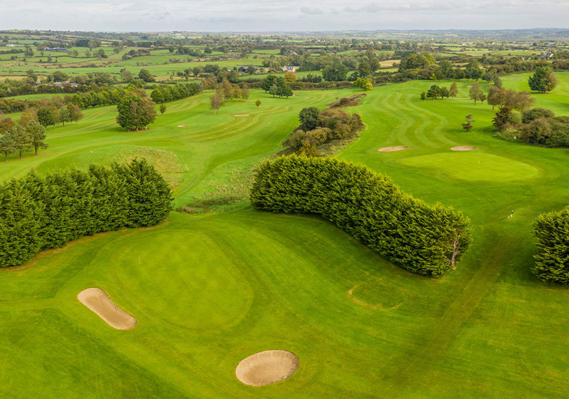 Mount Temple Golf ClubGolf course · 1.3 mi
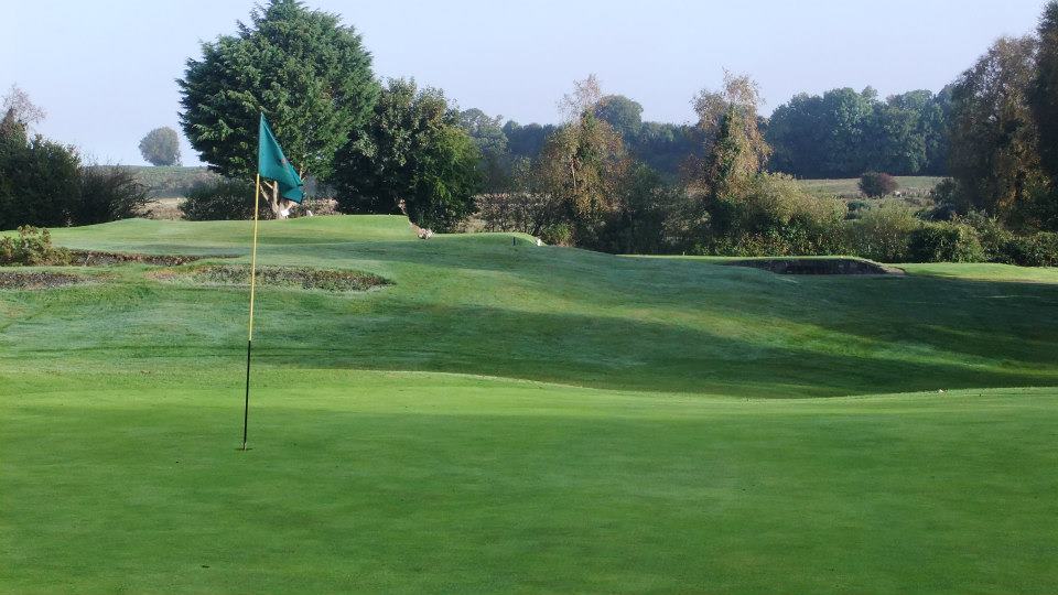 Moate Golf ClubGolf course · 1.9 miCharles BianconiMemorial · 1.9 mi
Explorer Tom Charles Bianconi’s memorial in Westmeath is standing there like it’s waiting for a poet who fell into the ditch nearby…
 European ash6.0 mi
Explorer Tom European ash in County Westmeath is standing tall after a local priest lost a bet about how many leaves it has and now…
More castles and forts in County Westmeath · All of County Westmeath

What do you know about this place?Tap to add a comment or ask a question