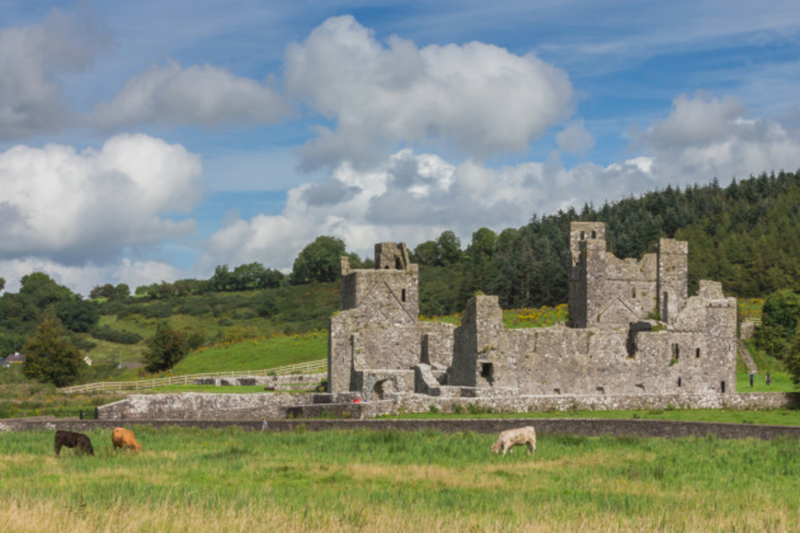
What is recorded here
Situated on a rise, in pasture, with good views of the surrounding low-lying landscape. Depicted on the 1837 OS 6-inch map as an oval-shaped earthwork. Depicted on the revised 1910 ed. OS 25-inch map as a pennanular-shaped earthwork, which is open to N. Monument described in 1983 as a roughly circular-shaped area (diam. 47m) enclosed by a bank. The bank is low from NE-E-SE and elsewhere it is reduced to a scarp, which is disturbed from NNW-N-NNE. An old field boundary running NNE-SSW, adjoins the perimeter at NE. There is a narrow gap at E, however this may be relatively modern. The interior is relatively smooth with a low rise in the W quadrant which may be rock outcrop. Levelled monument is visible today as an oval-shaped cropmark on Digital Globe aerial photography.
Compiled by Alison McQueen, Vera Rahilly and Caimin O’Brien.
Date of upload: 08 November 2019
A local fairy fort (ringfort/rath); wider significance not recorded.
The monument record does not grant public access. Check the route and ask the landowner before entering private land.
- What survives
- Recorded monument
Places near here
 CastleCastle, unclassified · 343 yd
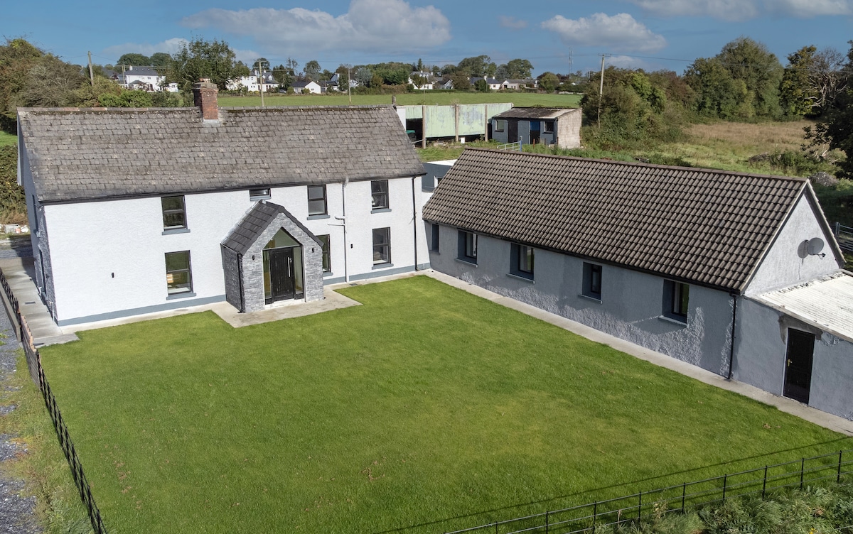 Bawn in DuneganBawn · 789 yd
 OutlinedFairy fort / earthen ringfort · 1024 yd
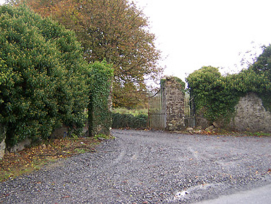 Shurock Housedemesne walls/gates/railings · 1299 yd
 Ecclesiastical enclosure in LabaunEcclesiastical enclosure · 1446 yd
 Corpus Christi Catholic Churchchurch/chapel · 1.0 mi
 Dún na Sí Heritage CentreMuseum · 1.4 mi
 Dún na SíMuseum · 1.4 mi
 Charles BianconiMemorial · 2.1 mi
 Moate HillMountain / peak · 2.3 mi
 Roughan HillMountain / peak · 5.6 mi
Other information
Photo: Credit not shown in the picture search · Rights wording not checked; contact us if this picture should be removed