What is recorded here
Marked faintly as a D-shaped embanked enclosure (dims c. 55m NW-SE; c. 40m NE-SW) truncated by the NW-SE Athlone-Roscommon road (N 61) at NE on the 1837 ed. of the OS 6-inch map, and situated on a steep E-facing slope of Feamore Hill. It is not visible at ground level in pasture.
Compiled by: Michael Moore
Date of upload: 24 August 2010
The monument record does not grant public access. Check the route and ask the landowner before entering private land.
- What survives
- Recorded monument
Places near here
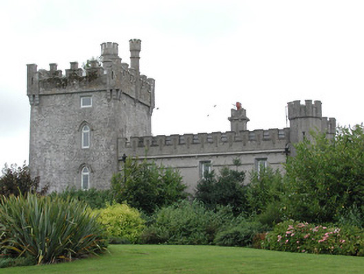 Moyvannan Castlecountry house · 524 yd
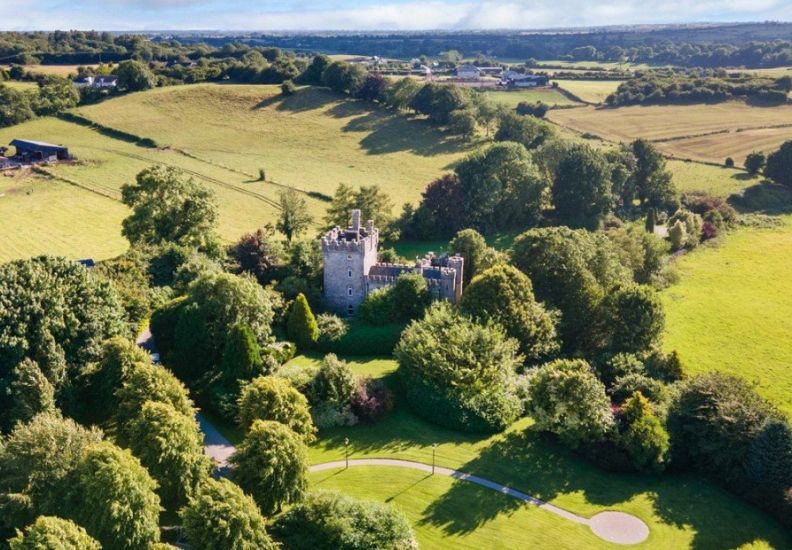 IndicatedFairy fort / earthen ringfort · 684 yd
 Newpark Housecountry house · 974 yd
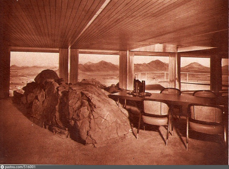 Hilltop enclosure in CappalisheenHilltop enclosure · 1648 yd
 Carnagh BayBay · 1.3 mi
 Long IslandIslet · 1.3 mi
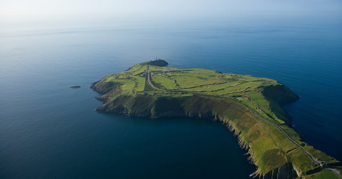 Sedgy IslandIslet · 1.3 mi
 Bally BayBay · 1.3 mi
 Curraghboy CastleCastle, unclassified · 3.0 mi
 RindoonWood · 4.2 mi
 Rindown CastleCastle, Anglo-Norman masonry castle · 4.4 mi
 Siege of Athlonesiege · 4.5 mi