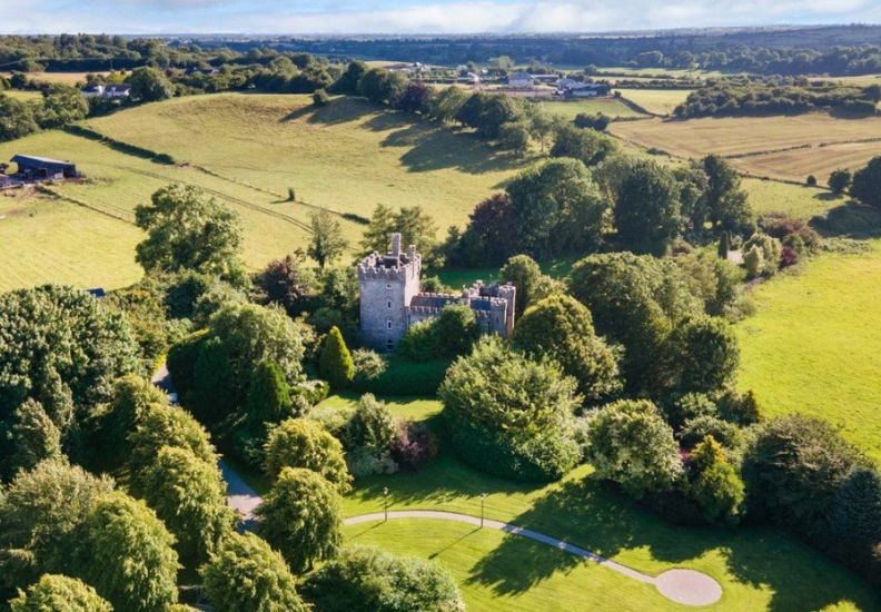
What is recorded here
On a low ENE-WSW ridge in an undulating landscape. D-shaped grass and scrub-covered area (dims 32.3m N-S; c. 20m E-W) defined by an earth and stone bank (Wth 6-6.5m; int. H 0.75-0.85m; ext. H 1.7-1.1m) and a flat-bottomed outer fosse (at N: Wth of top 6.2m; Wth of base 2m; D 0.75m). There is no identifiable original entrance. The perimeter is quarried at SE and truncated at E by a NNW-SSE field and road wall, while the monument is circumscribed by a field wall SE-SSW. Earthworks (RO048-042----; RO048-044----; RO048-045----) are c. 180m, c. 140m and c. 180m to the NE, E and WSW respectively.
Compiled by: Michael Moore
Date of upload: 24 August 2010
The monument record does not grant public access. Check the route and ask the landowner before entering private land.
- What survives
- Recorded monument
Places near here
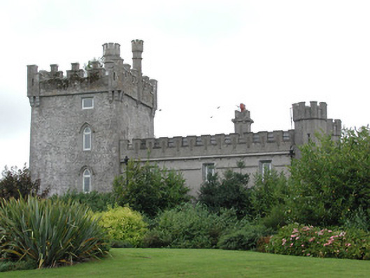 Moyvannan Castlecountry house · 481 yd
 Newpark Housecountry house · 581 yd
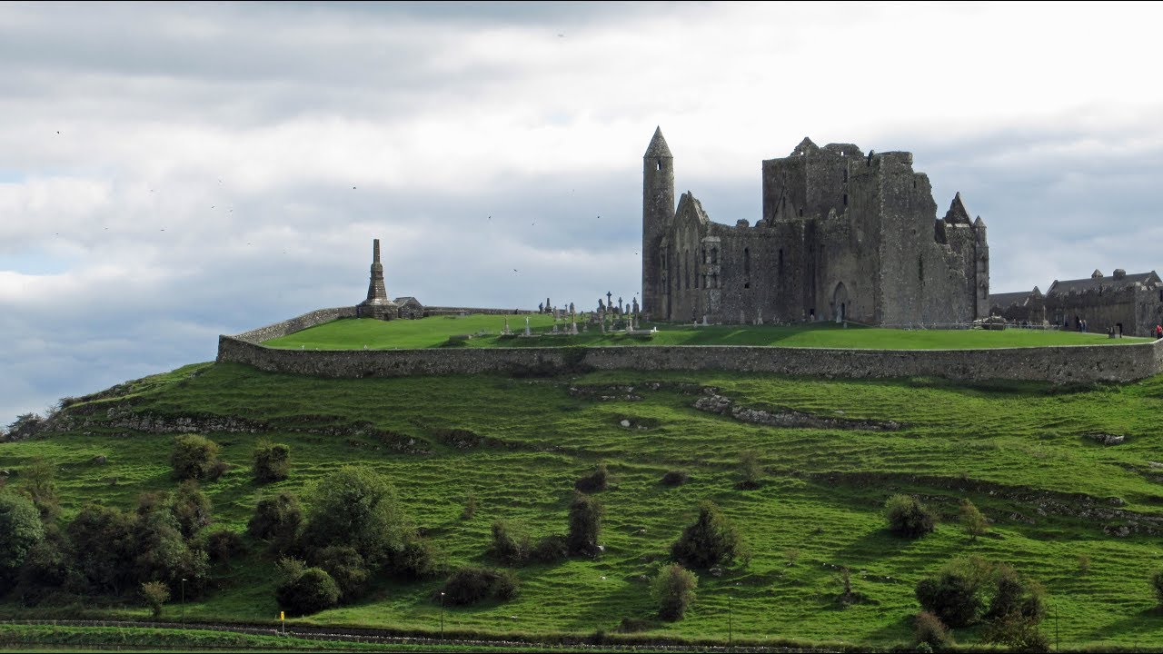 Mass-rock in KiltoomMass-rock · 1186 yd
 St Patricks WellHoly well · 1209 yd
 Carnagh BayBay · 1.1 mi
 Long IslandIslet · 1.3 mi
 Little IslandIslet · 1.3 mi
 Bally BayBay · 1.5 mi
 Curraghboy CastleCastle, unclassified · 3.0 mi
 RindoonWood · 3.9 mi
 Rindown CastleCastle, Anglo-Norman masonry castle · 4.0 mi
 Siege of Athlonesiege · 4.8 mi
Other information
Photo: Credit not shown in the picture search · Rights wording not checked; contact us if this picture should be removed