What is recorded here
Indicated is a ruined cashel in County Cavan where a low broken stone wall encloses a wide circular space. The ground inside rises slightly above the wall at the centre, as if the earth reclaimed the middle of the fort. Any entrance has disappeared, so the place no longer invites entry so much as it waits to be looked at.
Raised circular area (int. diam. c. 43m) enclosed by a low partly destroyed drystone wall. Original entrance not recognisable. Some 10m in from the cashel wall the internal area is level but rises to a height of c. 1.5m above that of the wall at the centre of the interior.
The above description is derived from the published 'Archaeological Inventory of County Cavan' (Dublin: Stationery Office, 1995). In certain instances the entries have been revised and updated in the light of recent research.
Date of upload/revision: 22 December 2008
The monument record does not grant public access. Check the route and ask the landowner before entering private land.
- What survives
- Recorded monument
Places near here
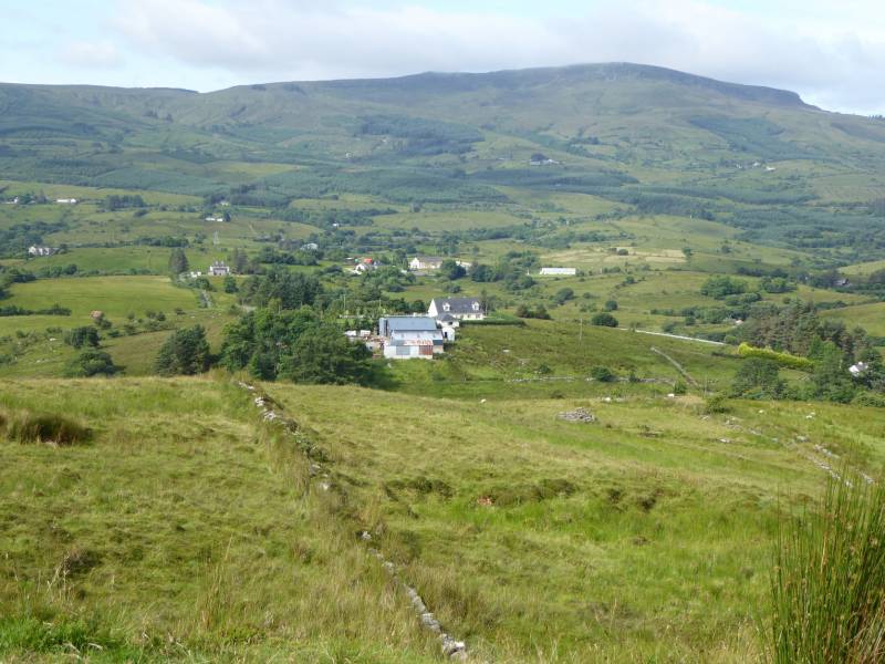 Tony FortArchaeological place · 521 yd
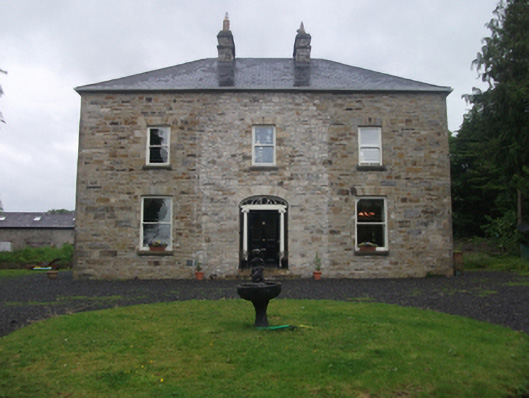 Moydristan Househouse · 684 yd
 IndicatedFairy fort / earthen ringfort · 761 yd
 CastleCastle, motte · 1510 yd
 Carrick RockWood · 1754 yd
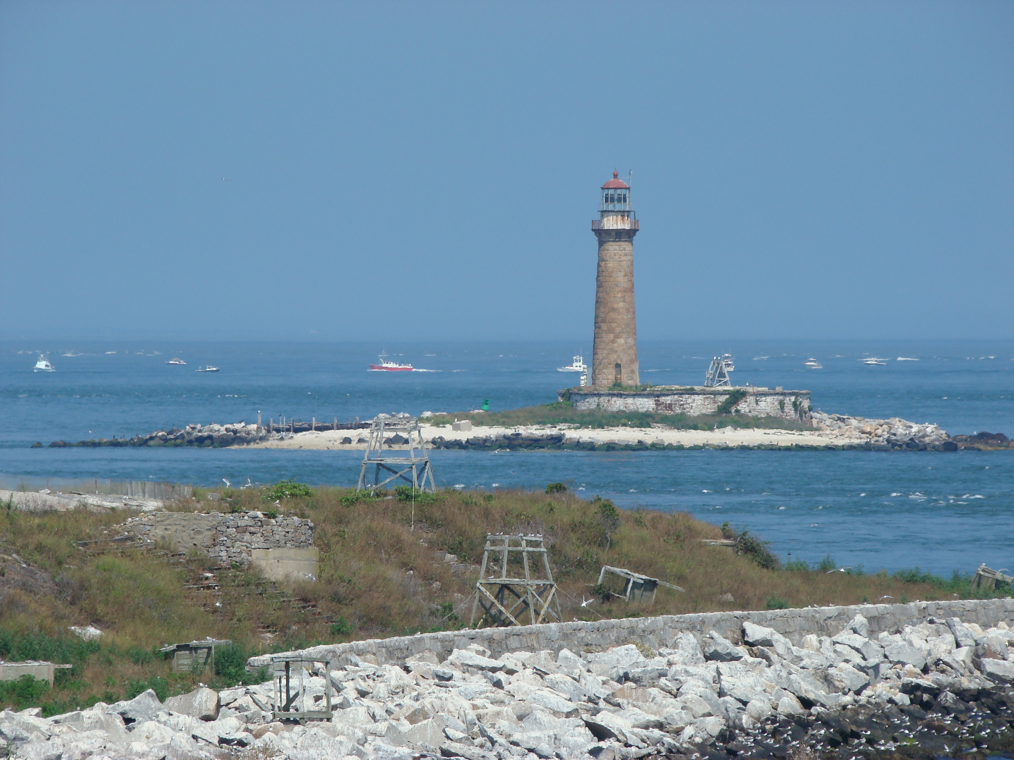 Gull IslandIslet · 1758 yd
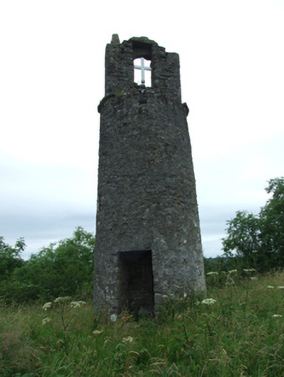 Maguire's Towerbell tower/stand · 1.0 mi
 Moynagh Upper ForestForest · 1.0 mi
 Crane IslandIslet · 1.1 mi
 CarrickabaneMountain / peak · 1.6 mi
 Aghakilmore LowerMountain / peak · 1.7 mi
 R. C. ChapelChurch · 1.0 mi