What is recorded here
Within a small field in Ceathrú an Locha close to SE coast of the island. Traces of a possible enclosure/mound survive in the form of a thick revetted drystone wall curving from W through N to NNE (Wth l-5m, H 1.2m max.) and appearing to enclose an area to E of it. Along E and SE side of the field, a steep natural slope/scarp may represent a continuation of its line. From S to SW its course appears to be represented by a large ill-defined grassy oblong mound (E-W c. 16m, H 1.7m max.). This appears to be composed of a mass of broken limestone, limpet shells and animal bone. (Robinson 1980)
The above description is derived from the published 'Archaeological Inventory of County Galway Vol. I - West Galway'. Compiled by Paul Gosling (Dublin: Stationery Office, 1993).
Date of upload: 05 August 2010
A possible Neolithic or early Bronze Age fulacht fiada or ritual mound; significance relates to its possible association with early settlement or ceremonial activity on Inis Oírr.
The monument record does not grant public access. Check the route and ask the landowner before entering private land.
- What survives
- Recorded monument
Places near here
 Creggankeel FortFairy fort / stone ringfort · 584 yd
 MV PlassyHeritage attraction · 785 yd
 Gob na CoraHeadland · 955 yd
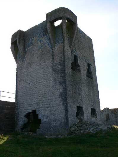 signal towersignal tower · 1001 yd
 Caisleán Uí BhriainCastle · 1115 yd
 IndicatedFairy fort / stone ringfort · 1130 yd
 Inis OírrIsland · 1168 yd
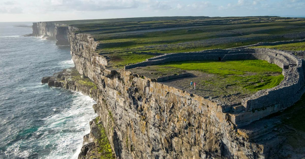 Penitential station in Inis OírrPenitential station · 1188 yd
 Poll na gCaorachBeach / strand · 1366 yd
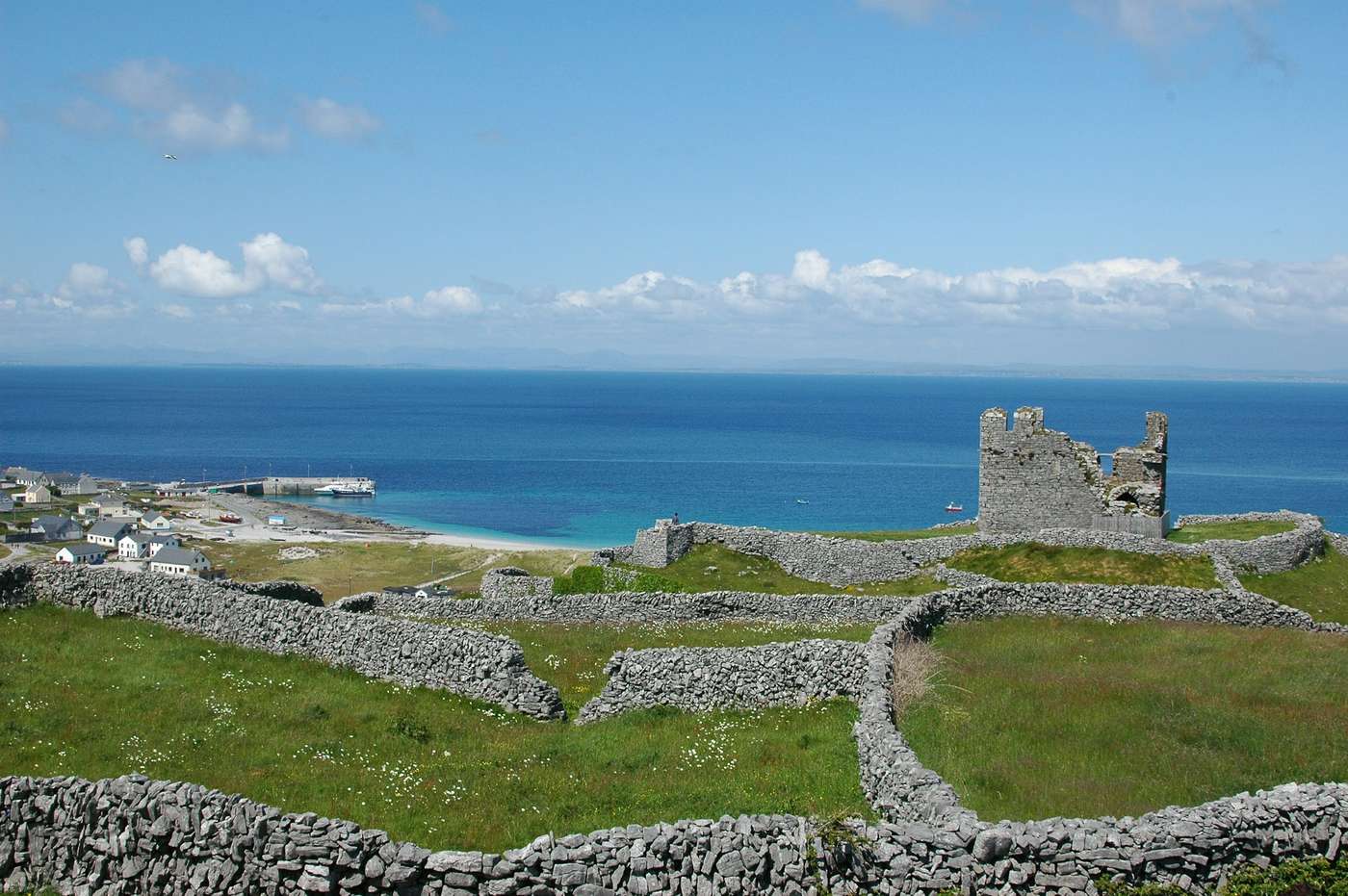 FárdorasHeadland · 1367 yd
 Port na CilleBeach / strand · 1552 yd
 Cnoc RaithníHeritage attraction · 1565 yd