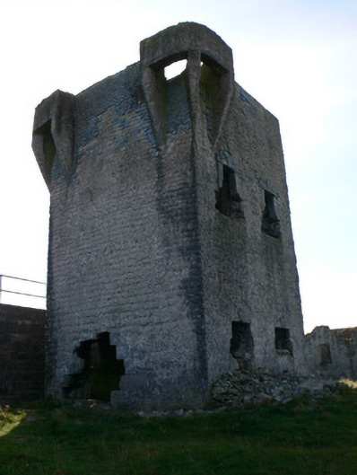
What is recorded here
Detached two-storey Napoleonic signal tower, erected c.1804, having two-bay elevations to north-east and south-west and single-bay elevations to other sides. Rubble limestone walls with remains of slatehanging, with dressed limestone machicolations, one to middle of north-west elevation and double machicolations to corners of opposite elevation. Square-headed window openings having dressed limestone block-and-start surrounds and lintels with raised keystone detail, and limestone sills. Fireplace to first floor of south-east wall having dressed limestone surround flanked by tall cupboard niches. Former national school of later date to north-west and more recent reservoir to south-east.
This military installation is part of the extensive network of fortifications and signal stations along the Atlantic seaboard and designed to repulse the threat of French invasion against Ireland, then a British colony. Its form is familiar, a second instance being Dún Árainn on Inis Mór. The dressed limestone surrounds on Inis Oírr make this signal tower somehat more interesting.
This does not grant access. Most recorded buildings are privately owned; view them only from public ground unless the owner allows entry.
Places near here
 Caisleán Uí BhriainCastle · 148 yd
 IndicatedFairy fort / stone ringfort · 158 yd
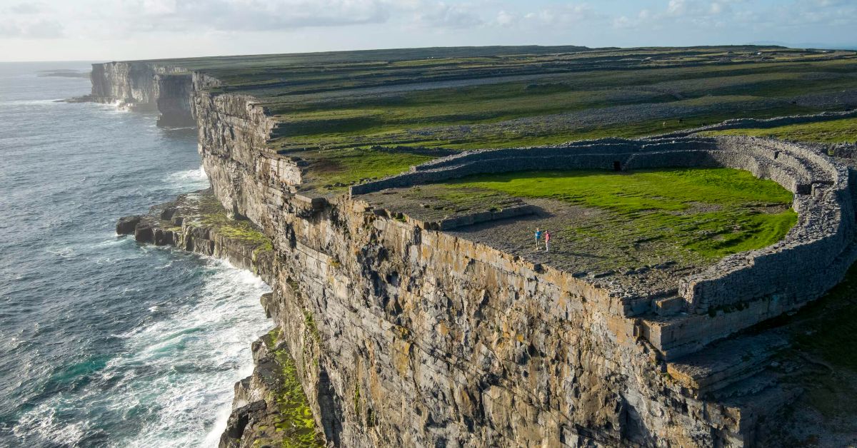 Penitential station in Inis OírrPenitential station · 441 yd
 Creggankeel FortFairy fort / stone ringfort · 448 yd
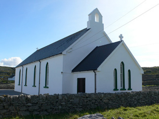 Séipéal Naomh Caomhánchurch/chapel · 500 yd
 Cnoc RaithníHeritage attraction · 564 yd
 Lár na TráBeach / strand · 608 yd
 Port na CilleBeach / strand · 800 yd
 Inis OírrIsland · 807 yd
 Cill GhobnaitHeritage attraction · 924 yd
 Gob na CoraHeadland · 1457 yd
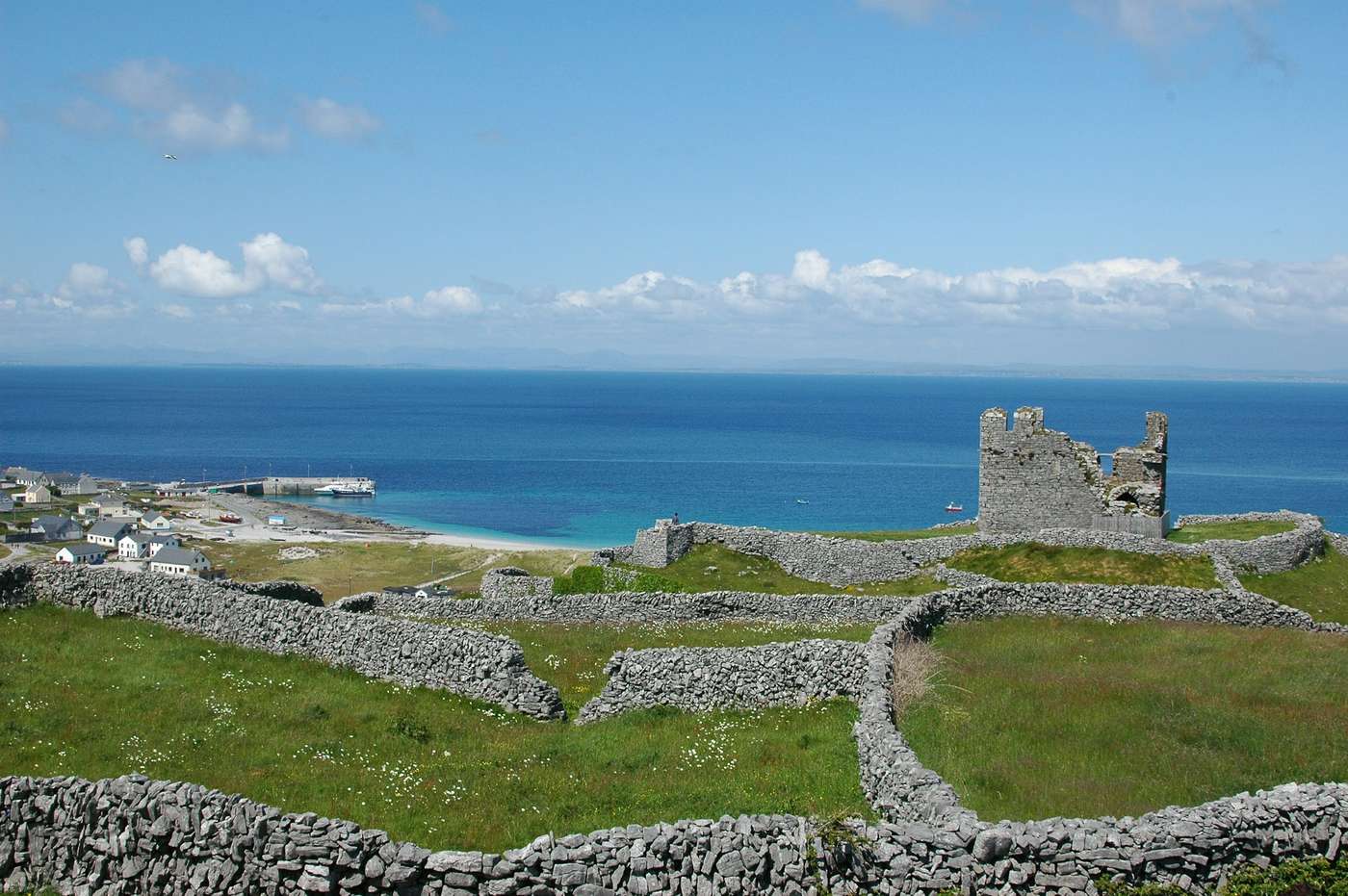 FárdorasHeadland · 1.1 mi
Other information
Photo: National Inventory of Architectural Heritage · Website use allowed for educational or private purposes with source credit