What is recorded here
In improved pasture on low rise at NNW-edge of old sinuous water channel. Circular area (dims. 6.5m N-S; 7m E-W) defined by very distinctive fosse (basal Wth 0.5-0.9m; overall Wth 3.5-3.7m; D 0.1-0.4m) and remains of an indistinct levelled external bank (Wth 3.6-4.2m; int. H 0.25-0.5m; ext. H 0.1-0.15m) S-ESE. Interior generally level in centre and falling gently to fosse around its perimeter. In general, this monument is distinctively saucer shaped. Identified on aerial photograph (251/20, 251/21).
Compiled by: Jean Farrelly
Date of upload: 26 August 2011
A Neolithic ring-barrow, c. 2500–2000 BCE, characterized by a circular fosse and central burial mound. Such monuments are significant as early funerary and ceremonial structures, reflecting communal burial practices and social organization in Neolithic Ireland.
The monument record does not grant public access. Check the route and ask the landowner before entering private land.
- What survives
- Recorded monument
Places near here
 Mooresfort Housecountry house · 332 yd
 Enclosure in MooresfortEnclosure · 1118 yd
 LissobihaneFairy fort / earthen ringfort · 1.0 mi
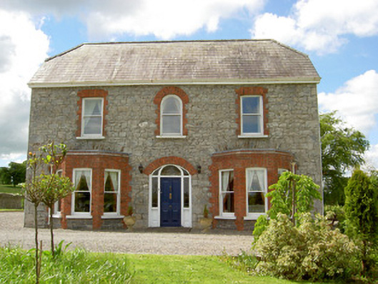 Saint Joseph'shouse · 1.1 mi
 CastleCastle, ringwork · 1.2 mi
 MoatCastle, motte · 2.3 mi
 Carn (site of)Cairn, burial cairn · 2.4 mi
 SlievenamuckMountain / peak · 3.0 mi
 Darby's Bed Walk LoopWalking route · 3.3 mi
 Duntryleague HillMountain / peak · 3.3 mi
 Bansha ForestForest · 4.0 mi
 Saint Patrick's WellSpring · 4.7 mi