What is recorded here
Standing stone in Moneynaboola is a standing stone in Moneynaboola, County Tipperary, Ireland. It is a red sandstone conglomerate, rectangular in plan, measuring 0.95 metres in length, 0.47 metres in width and 1.26 metres in height, aligned north-northwest to south-southeast. It stands on a gentle southwest-facing slope in undulating upland terrain, set in a hollow caused by cattle poaching. No packing stones are visible around its base, which has a grassy hummock at the southeast end and a low hummock along the east side.
On a gentle SW-facing slope in undulating upland terrain. A field boundary which ran N-S immediately E of the standing stone has been cleared and the field reclaimed. A red sandstone conglomerate, rectangular in plan (dims. L 0.95m; Wth 0.47m; H 1.26m) and aligned NNW-SSE. It stands in a hollow caused by cattle poaching. There are no visible packing stones around base which has a grassy hummock at the SE end and a low hummock along the E side. The upper portion of the NE face has spawled creating a slight ledge across this face.
Compiled by: Jean Farrelly
Date of upload: 26 August 2011
Probably dating to the Late Neolithic or Bronze Age, this standing stone may have functioned as a territorial marker or ritual monument. No specific folklore is recorded, though such stones often feature in local traditions as ancient memorials or sites of spiritual significance.
The monument record does not grant public access. Check the route and ask the landowner before entering private land.
- What survives
- Recorded monument
Places near here
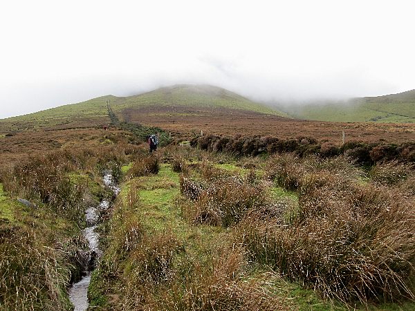 Enclosure in MoneynaboolaEnclosure · 83 yd
 KyleEnclosure · 926 yd
 CurraghMountain / peak · 1270 yd
 Giant's Rock - Rock of AglaishNamed rock · 1321 yd
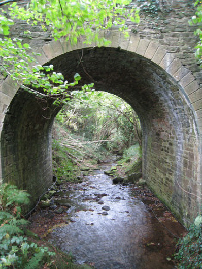 Longford Bridgebridge · 1.0 mi
 Lough CurraWalking route · 1.1 mi
 Noel's NippleNamed rock · 1.1 mi
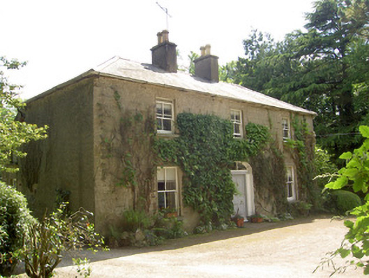 Ballycrehane Househouse · 1.2 mi
 Site of Dungrot CastleCastle, unclassified · 1.2 mi
 Ballynacourty HouseCastle, unclassified · 1.2 mi
 Knockanebrack HillMountain / peak · 1.7 mi
 Bansha ForestForest · 2.1 mi