What is recorded here
Fairy fort / earthen ringfort in Moneen is a fairy fort or earthen ringfort in Moneen, County Westmeath, Ireland. Situated on a very slight rise in low-lying rough, wet pasture, the site was described in 1973 as a fairly circular-shaped area measuring thirty-four metres north to south and thirty-two metres east to west, enclosed by a low bank and shallow external fosse. The monument was depicted on the revised 1910 edition Ordnance Survey twenty-five-inch map as a suboval-shaped earthwork cut by a trackway running north to south across the eastern sector.
Situated on a very slight rise, in low-lying rough, wet pasture, with restricted views to N and S. Depicted on the revised 1910 ed. OS 25-inch map as a suboval-shaped earthwork cut by a trackway running N-S across the E sector. Monument described in 1973 as a fairly circular-shaped area (dims. 34m N-S; 32m E-W) enclosed by a low bank and shallow external fosse best preserved where it is relatively deep from NE-E-SE and is incorporated into part of the field boundary. The interior has the remains of cultivation ridges running E-W and a trackway running N-S cuts across the E sector. Monument is visible today as a roughly circular-shaped tree-lined earthwork on Digital Globe aerial photography.
Compiled by Alison McQueen, Vera Rahilly and Caimin O’Brien.
Date of upload: 28 November 2019
The monument record does not grant public access. Check the route and ask the landowner before entering private land.
- What survives
- Recorded monument
Places near here
 OutlinedFairy fort / earthen ringfort · 971 yd
 Partially indicatedEnclosure · 1300 yd
 Farnaghcountry house · 1.4 mi
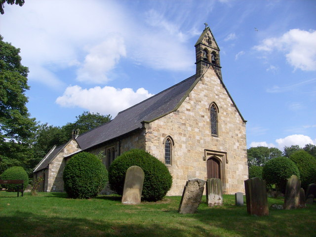 Church in Clonaltra WestChurch · 1.5 mi
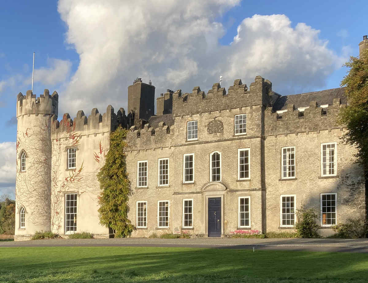 CastleCastle, unclassified · 1.6 mi
 Cloghawareschal CastleCastle, unclassified · 2.0 mi
 The Bob Traynor GalleryGallery · 2.2 mi
 Moate HillMountain / peak · 2.2 mi
 Dún na SíMuseum · 2.2 mi
 Charles BianconiMemorial · 2.2 mi
 European ashEuropean ash · 3.8 mi
 Inchaloon IslandIslet · 4.5 mi