
What is recorded here
Toberughta is a holy well in Monatray East, County Waterford, Ireland. The 1999 inventory recorded it on a severe east-facing slope above Whiting Bay, where a masonry wall defines a rock recess 0.65 metres wide, 0.5 metres high and 0.8 metres deep. It was formerly venerated as St Uchta’s or St Ita’s Well and remained maintained without a recorded pattern when that account was compiled.
Situated on a severe E-facing slope overlooking Whiting Bay and at the side of a steep street. It is known as ‘St Uchta’s or St Ita’s Well’ which was formerly venerated (OS Name Books). The well opens-out under rock outcrop as a recess (Wth 0.65m; H 0.5m; D 0.8) defined by a masonry wall. It is still maintained but there is no pattern.
The above description is derived from the published 'Archaeological Inventory of County Waterford' (Dublin: Stationery Office, 1999). In certain instances the entries have been revised and updated in the light of recent research.
Compiled by: Michael Moore
Date of upload/revision: 17 October 2011
Linked to St Ita (or St Ucta), a 6th-century Irish saint associated with Killeavy in County Tipperary, the well is traditionally visited for healing and protection. The site reflects a broader Celtic Christian tradition of holy wells dedicated to female saints, often connected with fertility and female health.
The monument record does not grant public access. Check the route and ask the landowner before entering private land.
- What survives
- Recorded monument
Places near here
 Man-made underground passage in BallysallaghMan-made underground passage · 280 yd
 Cabin PointHeadland · 683 yd
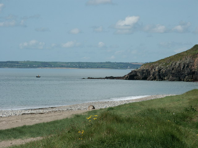 Caliso BayBeach / strand · 1127 yd
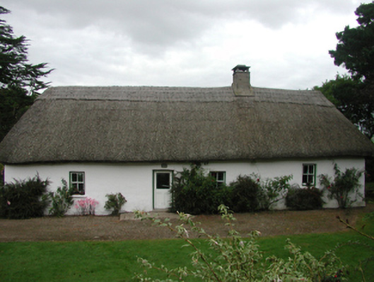 The Farmhousefarm house · 1152 yd
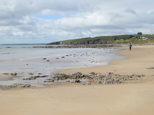 Whiting BayBeach / strand · 1302 yd
 Embanked enclosureEnclosure · 1424 yd
 Woodbine Hillgates/railings/walls · 1753 yd
 Site of CastleCastle, unclassified · 1.8 mi
 Ferry PointViewpoint · 1.9 mi
 Matty CoakleyMemorial · 1.9 mi
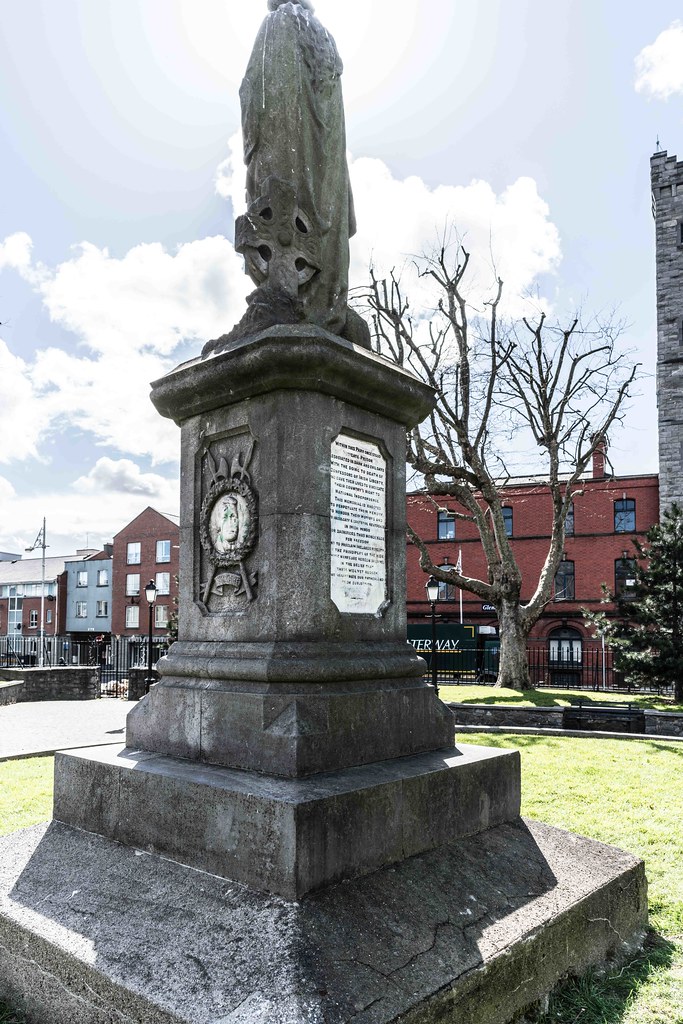 1798 MemorialMemorial · 2.0 mi
 Ardmore Open FarmHeritage attraction · 2.0 mi
Other information
Photo: Credit not shown in the picture search · Rights wording not checked; contact us if this picture should be removed