What is recorded here
At the N edge of a level plateau, on land sloping to the N in grassland. There is a good view from N-E-W. Roughly rectangular area (max. dims. c. 38m N-S; c. 20m E-W) enclosed by a levelled bank (Wth c. 6m), visible as a spread of stones, and by the remains of a shallow, wide fosse (Wth c. 6m), best preserved on N and E and defined by rich grass and nettle growth. The monument was levelled in the late 1960s but is still visible at ground level. It is described in 1964 as being, 'In undulating field (weedy pasture) (alt. 400' to 500' O.D.). Rectangular enclosure, with wide and deep fosse on S side. Other sides look damages (fosse may have been filled in). Trees in fosse. Access fairly good. Roughly square. A lot of boulders dumped on site from field clearance. Ground falls outside from S to N, but inside is level' (OPW Corresondence 1964). An accompanying sketch section gives the dimensions of the bank as 8 feet [2.4m] wide; 1 foot [0.3m] above the interior and 6 feet [1.8m] above the fosse, while the fosse is shown as being 15 feet [4.5m] wide and 5 feet [1.5m] deep (ibid.).
Compiled by: Jean Farrelly
Date of upload: 25 September 2017
The monument record does not grant public access. Check the route and ask the landowner before entering private land.
- What survives
- Recorded monument
Places near here
 Enclosure in GraigueadrislyEnclosure · 799 yd
 IndicatedCastle, ringwork · 1142 yd
 Erke Churchchurch/chapel · 1146 yd
 Ladys WellHoly well · 1240 yd
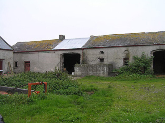 Bayswell Housefarmyard complex · 1305 yd
 Castle PierceHouse, fortified house · 1725 yd
 Cnoc SeanrathaMemorial · 1.3 mi
 DelaneyMemorial · 3.6 mi
 Tullow HillMountain / peak · 4.1 mi
 Street fieldArchaeological place · 4.1 mi
 Clonmeen WoodWood · 4.2 mi
 Clomantagh HillMountain / peak · 5.5 mi