What is recorded here
On the E bank of the Powerstown River which is indicated on the 1st (1839) ed. OS 6-inch map as flowing N-S immediately W of the enclosure. The enclosure is indicated on the 1st ed. map as a D-shaped enclosure, the N side possibly truncated by a field boundary which runs E-W along this straight side. It is not indicated on the 1900 revision and is visible on satellite imagery as a levelled enclosure (int. diam. c. 45m; overall diam. c. 65m), though the outline of the outer fosse is clearly visible. It is described in the OS Letters (1839) (O'Flanagan 1930, 16 (6)) as 'the Moat of Powerstown' which suggests that it had a water-filled fosse, no doubt fed from the adjacent river.
Compiled by: Jean Farrelly
Date of upload: 24 February 2022
The monument record does not grant public access. Check the route and ask the landowner before entering private land.
- What survives
- Recorded monument
Places near here
 IndicatedEnclosure · 519 yd
 Not indciatedEnclosure · 617 yd
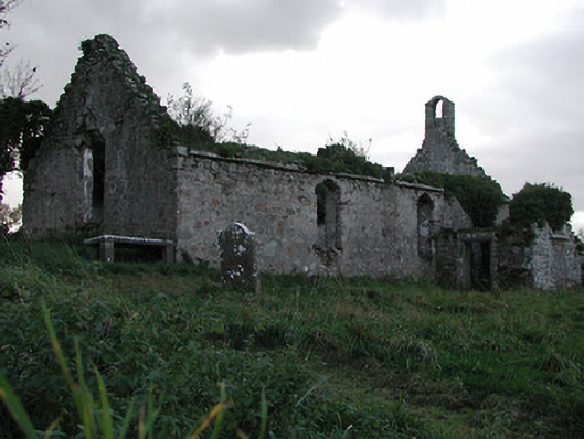 Powerstown Churchchurch/chapel · 795 yd
 CastleCastle, motte · 913 yd
 MonasteryReligious house, unclassified · 1657 yd
 Lord Galmoys Catle (in ruins)Castle, unclassified · 1.1 mi
 Tinnakeenly BogForest · 2.4 mi
 The bogForest · 2.6 mi
 Tullaherin Church and Round TowerVisitor information · 5.5 mi
 Assembly RoomsMemorial · 5.5 mi
 General Thomas CloneyMemorial · 5.5 mi
 St. Mogarra’s WellSpring · 7.1 mi