
What is recorded here
Indicated as a possible sand pit (dims. c. 20m N-S; c. 26m E-W) on the 1st (1839) ed. OS 6-inch map with a trackway running N from the pit before turning W and running to a large quarry where a row of adjoining limekilns is indicated. On the 1900 revision the feature is indicated as a small oval enclosure (dims. c. 20m N-S; c. 30m E-W) of similar size, defined by a bank. The enclosure is depicted at the junction of four fields. On satellite imagery (Google Earth, imagery date 25 April 2021) the enclosure, which appears to be levelled, is bounded on the S and W side by the quarry (Kilcarrig Quarries - Milford), which has been vastly extended to the S and somewhat to the W from that indicated on the 1900 revision. The S and W bank of the enclosure may be incorporated in the field boundaries separating the enclosure from the quarry. A corn-drying kiln (KK025-049----) was uncovered during archaeological excavations c. 30m to the S.
Compiled by: Jean Farrelly
Date of upload: 28 February 2022
The monument record does not grant public access. Check the route and ask the landowner before entering private land.
- What survives
- Recorded monument
Places near here
 Not indciatedEnclosure · 257 yd
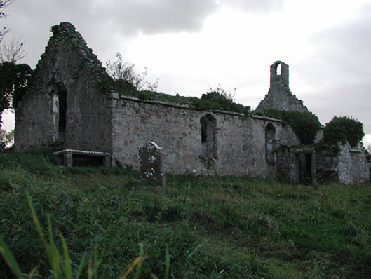 Powerstown Churchchurch/chapel · 1067 yd
 MonasteryReligious house, unclassified · 1138 yd
 Enclosure in Grange UpperEnclosure · 1154 yd
 CastleCastle, motte · 1188 yd
 Drumroe Castle (ruins)Castle · 1.0 mi
 Tinnakeenly BogForest · 2.2 mi
 The bogForest · 2.4 mi
 The PoundMemorial · 5.3 mi
 Keating's WellSpring · 5.4 mi
 Tullaherin Church and Round TowerVisitor information · 5.8 mi
 Kilbline GraveyardArchaeological place · 6.8 mi
Other information
Photo: Credit not shown in the picture search · Rights wording not checked; contact us if this picture should be removed