What is recorded here
The following description is derived from the published 'Archaeological Inventory of County Carlow' (Dublin: Stationery Office, 1993). In certain instances the entries have been revised and updated in the light of recent research.
Date of upload/revision: 17 July 2007
Rectangular area (40m NE-SW, 57m NW-SE) surrounded by earthen bank and slight traces of fosse. Fosse connected by leats at W and S corners to adjacent stream at W. Entrance not identified. At SE, interior is raised. Adjacent to this and bank at SW is circular depression, possibly silted up watering hole. Possible field system (CW008-002002-) and rectangular enclosure (CW008-054----) visible to S, consisting of areas defined by low banks.
The monument record does not grant public access. Check the route and ask the landowner before entering private land.
- What survives
- Recorded monument
Places near here
 Enclosure in FriarstownEnclosure · 241 yd
 AbbeyEcclesiastical site · 473 yd
 Duckett's GroveHeritage attraction · 1046 yd
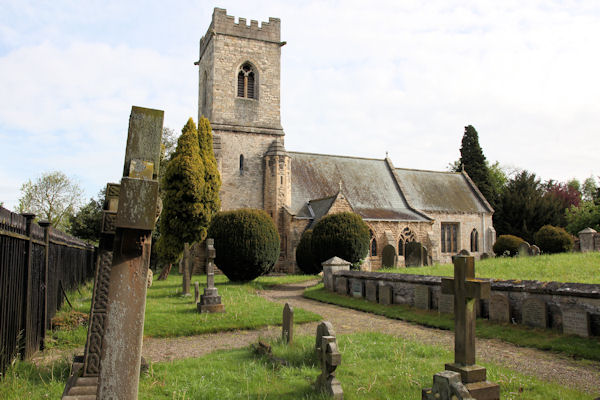 St. John the Baptists Preceptory (in Ruins)Religious house, Knights Hospitallers · 1443 yd
 Church (in Ruins), GraveyardChurch · 1584 yd
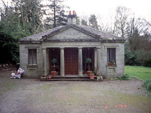 Russellstown Parkgate lodge · 1604 yd
 Friarstown Castle (in ruins)Castle, tower house · 1.1 mi
 Site of CastleCastle, unclassified · 1.1 mi
 Cork oakCork oak · 1.2 mi
 European YewEuropean Yew · 1.5 mi
 Church (in ruins), Cross, GraveyardChurch · 2.2 mi
 Brownshill Portal TombVisitor information · 2.8 mi