What is recorded here
Situated on top of a low natural hillock with good views to S and SW, with stream 65m to NW. Ringfort (WM006-025----) 415m to ENE and possible Man-made underground passage (WM003-013001-) 170m to SW. A rectangular-shaped area (approx. dims. 20m N-S ; 28m E-W) enclosed by a low poorly preserved earthen bank mainly reduced to a scarp with traces of an external fosse visible at W only. No entrance feature visible. The interior is uneven, rising towards the centre. There may have been a house or other features in the centre of the earthwork, however this area is somewhat disturbed and cannot be properly deciphered now. Earthwork now covered in trees and scrub vegetation as clearly shown on Digital Globe aerial photograph taken November 2011,
Compiled by: Frank Coyne & Caimin O'Brien
Date of upload: 21 December 2016
The monument record does not grant public access. Check the route and ask the landowner before entering private land.
- What survives
- Recorded monument
Places near here
 Ballycomoyle National Schoolschool · 418 yd
 Hut site in BallymanusHut site · 587 yd
 Field system in BallymanusField system · 627 yd
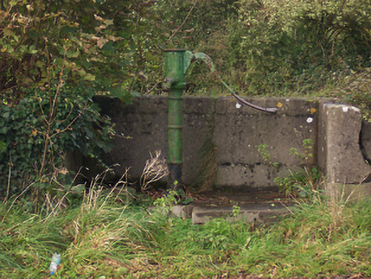 water pumpwater pump · 679 yd
 Hilltown Castle (in ruins)Castle, tower house · 1.3 mi
 Mullaghmeen ForestPicnic place · 1.5 mi
 Hachured, dotted outlineCastle, motte and bailey · 1.5 mi
 Rock of CurryCliff · 1.8 mi
 Mullaghmeen Red WalkWalking route · 1.8 mi
 Mullaghmeen White WalkWalking route · 2.0 mi
 MullaghmeenMountain / peak · 2.3 mi
 European ashEuropean ash · 2.6 mi