
What is recorded here
Detached T-plan gable-fronted four-bay single-storey school, built c.1930. Currently unoccupied and out of use. Pitched slate roofs with overhanging eaves, brick chimneystacks, clay ridge tiles, cast-iron rainwater goods and a cast-iron roof vent. Smooth cement rendered walls with cut stone name plaque to front gable (south). Square-headed openings with six-over-nine and six-over-six pane timber sliding sash windows to front. Square-headed door openings with timber sheeted doors. Set back from road in own grounds with random rubble stone boundary wall to perimeter (south). Located in the rural countryside to the north of Castlepollard.
A well-composed and appealing national school, built to a standard two-teacher design prepared by the Board of Works on behalf of the Board of Education. Although now disused, the school retains the original form and massing, together with important salient features and materials, which enhance the character of the composition. Small rural national schools of this type were a characteristic feature of rural Ireland in the first decades after Independence and are part of our social history. However, very few survive today in such good condition as this example. This school replaced an earlier school at Ballycomoyle, which was located to the south of the present structure. This charming and unassuming building remains part of the architectural heritage of the twentieth century in Westmeath and is an important element of the social history of the Ballycomoyle rural area.
This does not grant access. Most recorded buildings are privately owned; view them only from public ground unless the owner allows entry.
Places near here
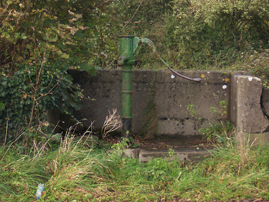 water pumpwater pump · 262 yd
 Hut site in BallymanusHut site · 867 yd
 Field system in BallymanusField system · 891 yd
 Hachured, dotted outlineCastle, motte and bailey · 1.3 mi
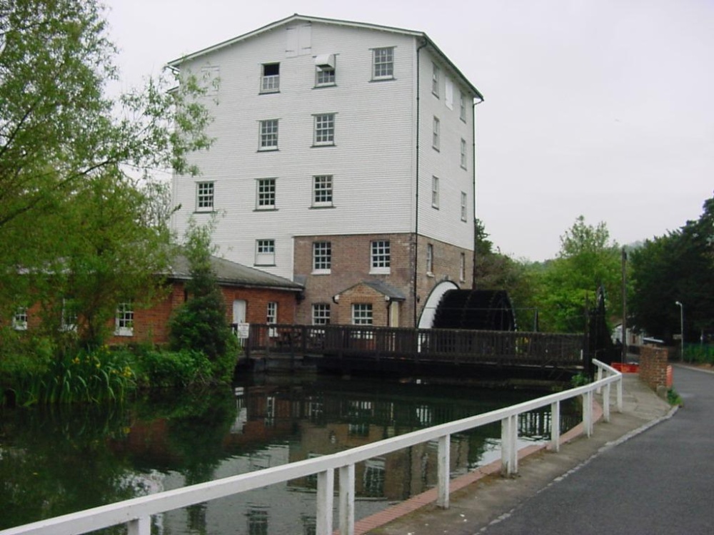 Corn Mill & Tuck MillWater mill, unclassified · 1.3 mi
 Hilltown Castle (in ruins)Castle, tower house · 1.4 mi
 Rock of CurryCliff · 1.7 mi
 Mullaghmeen ForestPicnic place · 1.7 mi
 Mullaghmeen Red WalkWalking route · 2.0 mi
 Mullaghmeen White WalkWalking route · 2.2 mi
 European ashEuropean ash · 2.4 mi
 MullaghmeenMountain / peak · 2.5 mi
Other information
Photo: National Inventory of Architectural Heritage · Website use allowed for educational or private purposes with source credit