
What is recorded here
Situated on top of a slight but prominent natural rise, ringfort (WM003-025----) 140m to NNW, church site (WM003-006---) 160m to SSW. Ringfort (WM003-026----) with grass-covered wall footings of a rectangular house site (WM003-026001-) visible in S quadrant. A series of low earthen banks to the E and W of the ringfort probably represent an ancient field system contemporaneous with the monument. These earthworks are visible on Digital Globe aerial photograph taken November 2011.
Compiled by: Frank Coyne & Caimin O'Brien
Date of upload: 22 December 2016
The monument record does not grant public access. Check the route and ask the landowner before entering private land.
- What survives
- Recorded monument
Places near here
 Hut site in BallymanusHut site · 49 yd
 Partially hachuredFairy fort / earthen ringfort · 833 yd
 Ballycomoyle National Schoolschool · 891 yd
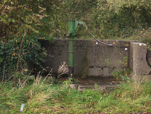 water pumpwater pump · 1086 yd
 Hilltown Castle (in ruins)Castle, tower house · 1665 yd
 Mullaghmeen ForestPicnic place · 1.5 mi
 Hachured, dotted outlineCastle, motte and bailey · 1.5 mi
 Mullaghmeen Red WalkWalking route · 1.9 mi
 Rock of CurryCliff · 2.1 mi
 European ashEuropean ash · 2.8 mi
 Silver FirSilver Fir · 3.4 mi
 Seafin HillMountain / peak · 4.6 mi
Other information
Photo: Credit not shown in the picture search · Rights wording not checked; contact us if this picture should be removed