
What is recorded here
Moatquarter is a steep-sided castle mound on a Tipperary ridge, overlooking a valley where a church and graveyard still stand across the pasture. Its flat top rises nine metres above a dug ditch, suggesting people climbed the slope to watch the land below. The false bank on one side preserves the old ridge line, while the missing bailey disappears into grass and time.
Situated near S end of a roughly N-S ridge, overlooking a valley, in pasture. The land rises steadily E of the site, though the slope is still overlooked by a motte. A church (OF047-009----) and graveyard (OF047-009001-), rectangular enclosure (OF047-008----) and sunken ways are visible on the opposing ridge to the S-SW. The site consists of a steep-sided, flat-topped mound (max. diam. NE-SW 11m; 8.5m N-S; 9.6m E-W: H 9m) of classic pudding-bowl profile. Enclosed from E to S to NW by a fosse (Wth 1.6m; D 2m) which has been dug into the ridge. The enclosing bank (Wth 1.3m) on the SE side appears to be the remains of the original ridge and is actually a false bank or counterscarp. No bailey visible.
The above description is derived from 'The Archaeological Inventory of County Tipperary. Vol. 1 - North Tipperary' compiled by Jean Farrelly and Caimin O'Brien (Dublin: Stationery Office, 2002). In certain instances the entries have been revised and updated in the light of recent research.
Date of upload/revision: 6 September 2010
This monument is subject to a preservation order made under the National Monuments Acts 1930 to 2014 (PO no. 4/2008).
The monument record does not grant public access. Check the route and ask the landowner before entering private land.
- What survives
- Recorded monument
Places near here
 Enclosure in Moatquarter (rathnaveoge Par.)Enclosure · 192 yd
 Church (in Ruins)Church · 336 yd
 Structure in LoughanStructure · 584 yd
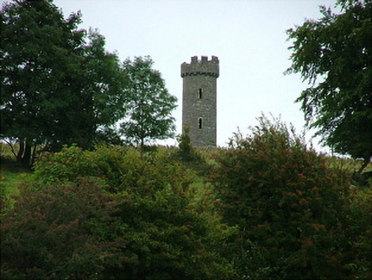 Busherstown Towerfolly · 884 yd
 CastleCastle, ringwork · 1392 yd
 Castle (in ruins)Castle, tower house · 1.8 mi
 BenduffMountain / peak · 2.0 mi
 Longford WoodForest · 2.4 mi
 Borrisnoe MountainMountain / peak · 3.3 mi
 Kyleroe WoodWood · 4.5 mi
 Thomas MacDonagh Heritage CentreMuseum · 6.3 mi
 MacDonagh HouseMemorial · 6.3 mi
Other information
Photo: Credit not shown in the picture search · Rights wording not checked; contact us if this picture should be removed