What is recorded here
Death and memory have tangled together at Moat, where a small circular earthwork may still breathe beneath the graveyard of St. Bridget’s Roman Catholic church. The land is undulating, the boundary blurred, and the fort may have become a burial place rather than vanished. That is not loss; it is transformation. What was built to defend life may now hold death, which is why the shape resisted erasure.
Situated in an undulating landscape. A small circular feature (diam. c. 15m) is depicted only on the 1836 edition of the OS 6-inch map where it is described in gothic lettering as a ‘Fort’. A slight rise in the graveyard attached to St. Bridget’s Roman Catholic church could indicate the monument.
The above description is derived from the published 'Archaeological Inventory of County Meath' (Dublin: Stationery Office, 1987). In certain instances the entries have been revised and updated in the light of recent research.
Compiled by: Michael Moore
Date of revision: 31 October 2018
The monument record does not grant public access. Check the route and ask the landowner before entering private land.
- What survives
- Recorded monument
Places near here
 Cross in Moat (fore By.)Cross · 56 yd
 Font in Moat (fore By.)Font · 86 yd
 The MoatCastle, motte and bailey · 865 yd
 European BeechEuropean Beech · 910 yd
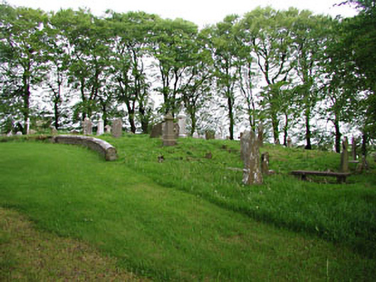 graveyard/cemeterygraveyard/cemetery · 912 yd
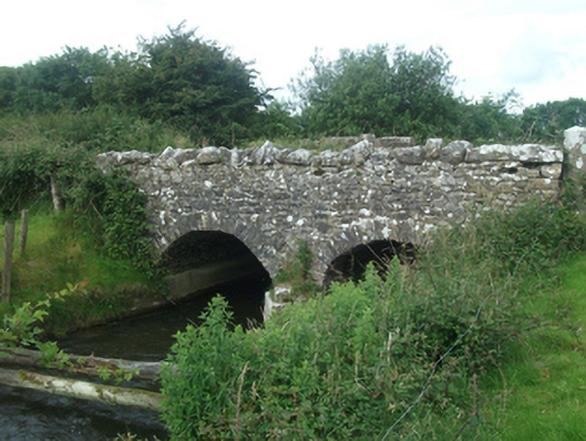 Ballinacree Bridgebridge · 928 yd
 CastleCastle, unclassified · 1.0 mi
 Mullaghmeen ForestPicnic place · 2.2 mi
 Mount FortuneMountain / peak · 2.3 mi
 Bob's GroveForest · 2.4 mi
 Memorial CrossMemorial · 2.5 mi
 Fennor LowerMountain / peak · 3.0 mi