What is recorded here
In 1999 the ASI could not tell whether the grass hid a ring, a pit or a mound because the ground swallowed every edge. The 1840 map drew an oval thirty-two metres long, yet local memory still calls it an enclosure as if walls had simply sunk into the wet soil. Satellite images from 2005 to 2018 show a bare circle inside young forestry, proving that the land still marks the shape even when human tools fail.
In undulating poorly drained land, in young forestry, with good views from SE-S-SW and 590m E of a townland boundary with Ballyvalode. Depicted on the 1840 ed. OSi 6-inch map as an oval-shaped earthwork (32m NW-SE; 26m NE-SW). Monument surveyed by the ASI in 1999 and described as a being under thick grass cover and impossible to determine its precise form and extent. Known of locally as an enclosure. Monument is visible as an unplanted circular-shaped area within young forestry, on OSi orthophotos taken 2005-2012, on Digital Globe orthophotos taken 2011-2013 and on Google Earth orthoimage taken 18/11/2018.
See attached Google Earth orthoimage taken 18/11/2018
Compiled by: Alison McQueen and Vera Rahilly
Date of upload: 18 October 2020
The monument record does not grant public access. Check the route and ask the landowner before entering private land.
- What survives
- Recorded monument
Places near here
 Megalithic tomb in Garryduff (coonagh By.)Megalithic tomb · 949 yd
 BarrowBarrow, ring-barrow · 1022 yd
 Oola National Schoolschool · 1643 yd
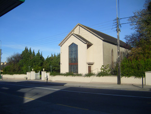 Catholic Church of the Sacred Heartchurch/chapel · 1685 yd
 CloghadaltonCastle, unclassified · 1.0 mi
 Oola HillMountain / peak · 1.1 mi
 Longford Castle (in ruins)Castle, unclassified · 1.3 mi
 ToberagaddySpring · 3.3 mi
 KnockseefinMountain / peak · 4.6 mi
 St. Patrick's WellSpring · 6.2 mi
 Flat cemetery in Knockainy WestFlat cemetery · 9.8 mi
 Field system in Garryduff (coonagh By.)Field system · 1211 yd