What is recorded here
Fairy fort / earthen ringfort in Moanmore (Emly parish) is a fairy fort or earthen ringfort in Moanmore (Emly parish), County Tipperary, Ireland. It occupies an 18-metre circular hillock in pasture, defined by an earthen scarp 4 metres wide and 0.7 metres high and a shallow outer ditch. The ditch is best preserved from southeast to southwest. It is very shallow from north-northeast to southeast. It is not visible from southwest to north-northeast. A north-south field-boundary bank follows its approximate outer line from southwest to northwest. A slight dip at northwest may mark the original entrance.
On top of a slight hillock in gently rolling pasture. Identified on aerial photographs (Ordnance Survey 2436/5; Air Corps V. 263/102, 2-9-1959). Circular slightly raised area (diam. 18m) defined by a gently sloping earthen scarp (Wth 4m; H 0.7m) with a flat-bottomed external fosse (overall Wth 3.8m; Wth at base 1.8m; D 0.1m). The fosse is best preserved SE-SW being very shallow and difficult to discern at ground level NNE-SE. The fosse is not visible at ground level SW-NNE with a N-S orientated field boundary bank lying on the approximate outer line of the fosse SW-NW. A slight poorly defined dip in the scarped edge at NW may mark the position of the original entrance. The interior slopes slightly facing N and is clear of overgrowth. An ESB pole is located on the SSE sector of the interior.
Compiled by: Jean Farrelly
Date of revised upload: 3 September 2014
The monument record does not grant public access. Check the route and ask the landowner before entering private land.
- What survives
- Recorded monument
Places near here
 Aughaclareen Bridgebridge · 557 yd
 Field system in Ballynagrana (emly Par.),moanmore (emly Par.)Field system · 1062 yd
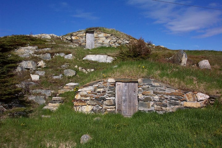 Enclosure in Kilross (clonbeg Par.)Enclosure · 1365 yd
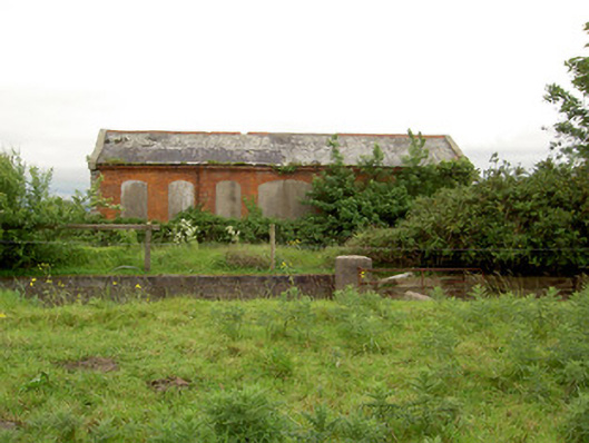 Emly Railway Stationstore/warehouse · 1.0 mi
 Carn (site of)Cairn, burial cairn · 1.2 mi
 Glebe Ho.Castle, unclassified · 2.1 mi
 Ryves CastleCastle, unclassified · 2.7 mi
 Saint Patrick's WellSpring · 3.5 mi
 St Patrick's WellSpring · 3.7 mi
 Knockanebrack HillMountain / peak · 4.9 mi
 SlievereaghMountain / peak · 5.8 mi
 Flat cemetery in Knockainy WestFlat cemetery · 6.0 mi