What is recorded here
In low-lying marshy ground, adjacent to a stream. Discovered during archaeological monitoring in advance of the construction of the N8 Glanmire-Watergrasshill Bypass and excavated in 2001. Excavation revealed a spread (2.28m x 1.68m x 0.25m) of heat-shattered stones and charcoal-enriched soil with no associated features though it was noted that substantial drainage works had been previously undertaken in the area. (Purcell 2003a, 50; NRA)
The above description is derived from 'The Archaeological Inventory of County Cork. Volume 5' (Dublin: Stationery Office, 2009).
Date of upload: 22 December 2009
Burnt mound in Mitchellsfort is a Neolithic ritual or industrial site, dating to approximately 2500–2000 BCE. Its significance lies in providing evidence of early human activity and land use in a wetland environment.
The monument record does not grant public access. Check the route and ask the landowner before entering private land.
- What survives
- Recorded monument
Places near here
 Cremated remains in MitchellsfortCremated remains · 125 yd
 Enclosure in Bishop's Island (barrymore By., Ardnageehy Par.)Enclosure · 888 yd
 Watergrasshill Church of Ireland Churchchurch/chapel · 1121 yd
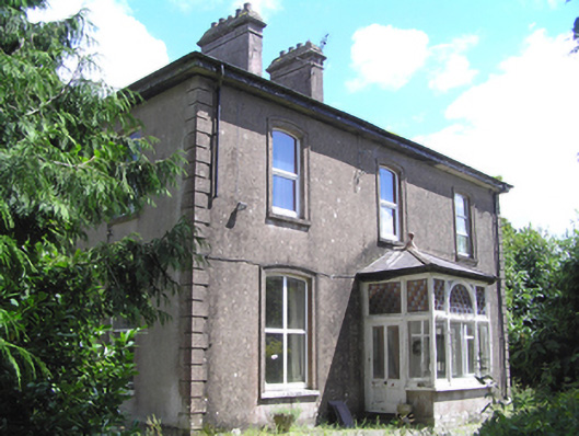 presbytery/parochial/curate's housepresbytery/parochial/curate's house · 1395 yd
 Castle (Site of)Castle, unclassified · 1.4 mi
 Moanbaun ForestForest · 2.3 mi
 Gleeson MemorialMemorial · 2.8 mi
 Devonshire's HillMountain / peak · 3.3 mi
 Monananig WoodsWood · 3.3 mi
 Sarsfields Court (in Ruins)Castle, unclassified · 3.7 mi
 Graveyard in Killuntin NorthGraveyard · 3.8 mi
 Rathcormac massacremassacre · 5.1 mi