What is recorded here
Indicated is a levelled fairy fort in County Limerick, Ireland, where a thirty-metre ring has faded into pasture and memory. What remains is a shallow scar, a low bank, and the kind of absence that makes you wonder who lived there, who forgot it, and what it still marks.
In pasture, atop low rise. Monument, depicted on 1923 OS 6-inch map as sub-circular enclosure (diam. c. 30m), has been levelled. Now evident as roughly circular area (28m N-S) defined by low remains of earth-and-stone bank (int. H 0.2m; ext. H 0.45m) NNE->ENE, and by scarped edge (H 0.15m; Wth 2m) S->NW. External fosse (Wth 1m; D 0.1m) evident NNE->ENE and S->NW. Enclosing elements difficult to discern elsewhere. Interior flat and under pasture.
Compiled by: Denis Power
Date of upload: 26 August 2011
The monument record does not grant public access. Check the route and ask the landowner before entering private land.
- What survives
- Recorded monument
Places near here
 Burial in Ballyegny Beg,ballyneety (shanid By.)Burial · 172 yd
 IndicatedFairy fort / earthen ringfort · 511 yd
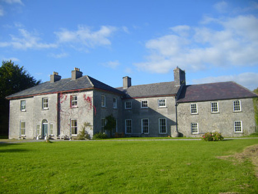 Glenville Housecountry house · 738 yd
 CahermoyleCastle, unclassified · 872 yd
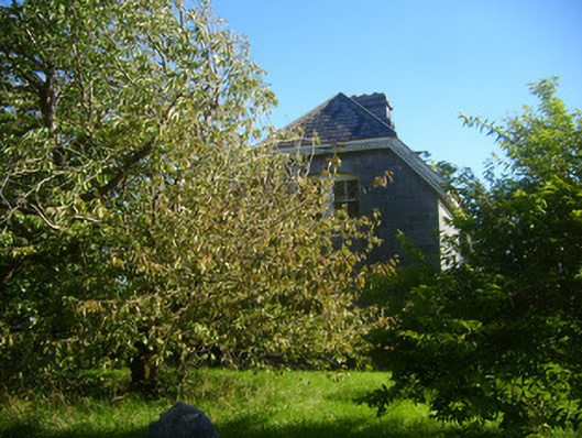 Cathair Maothailhouse, steward's house · 930 yd
 St. Luke's WellSpring · 1291 yd
 Castle (in ruins)Castle, tower house · 1.7 mi
 St. Kieran's WellSpring · 2.3 mi
 European ashEuropean ash · 4.3 mi
 Limerick GreenwayWalking route · 4.8 mi
 Sugar HillMountain / peak · 6.4 mi
 Monterey CypressMonterey Cypress · 8.2 mi