
What is recorded here
In pasture, on low-lying marshy ground. Monument, depicted on 1923 OS 6-inch map as roughly circular enclosure (diam. c. 30m) bisected on N-S axis by field boundary, has been partially levelled. Section on W side of boundary has been levelled and no trace of it was evident when site inspected. Section on E side of boundary is D-shaped area (straight side 17.5m N-S; projecting 5.6m to E) defined by scarped edge (H 0.9m; Wth 5.75) N->S. Scarp is well defined N->E but E->S is merely a gradual rise. Interior dips sharply down to W and is under pasture.
Compiled by: Denis Power
Date of upload: 26 August 2011
The monument record does not grant public access. Check the route and ask the landowner before entering private land.
- What survives
- Recorded monument
Places near here
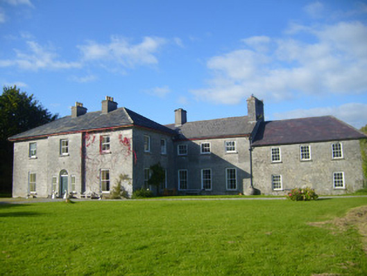 Glenville Housecountry house · 389 yd
 Burial in Ballyegny Beg,ballyneety (shanid By.)Burial · 670 yd
 CahermoyleCastle, unclassified · 777 yd
 Enclosure in Ballylin (shanid By., Ardagh Ed)Enclosure · 827 yd
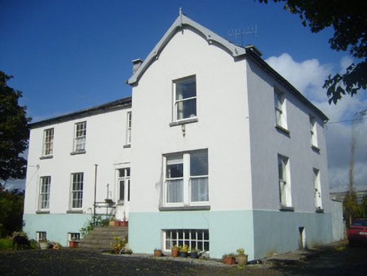 Rathronan Houserectory/glebe/vicarage/curate's house · 928 yd
 St. Luke's WellSpring · 1236 yd
 Castle (in ruins)Castle, tower house · 1.4 mi
 St. Kieran's WellSpring · 2.4 mi
 European ashEuropean ash · 4.5 mi
 Limerick GreenwayWalking route · 4.8 mi
 Sugar HillMountain / peak · 6.5 mi
 Monterey CypressMonterey Cypress · 7.9 mi
Other information
Photo: Credit not shown in the picture search · Rights wording not checked; contact us if this picture should be removed