
What is recorded here
In pasture; ground rises gently to S. No visible surface trace on the ground of circular enclosure and complex of linear features visible on aerial photograph (GSIAP R462).
Compiled by: Denis Power
Date of upload: 26 August 2011
The monument record does not grant public access. Check the route and ask the landowner before entering private land.
- What survives
- Recorded monument
Places near here
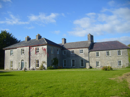 Glenville Housecountry house · 506 yd
 Grave YardGraveyard · 799 yd
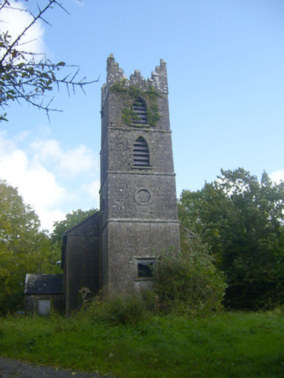 Rathronan Churchchurch/chapel · 823 yd
 IndicatedFairy fort / earthen ringfort · 827 yd
 CahermoyleCastle, unclassified · 1593 yd
 St. Luke's WellSpring · 1.2 mi
 Castle (in ruins)Castle, tower house · 1.8 mi
 St. Kieran's WellSpring · 2.8 mi
 Limerick GreenwayWalking route · 4.4 mi
 European ashEuropean ash · 4.8 mi
 Sugar HillMountain / peak · 6.0 mi
 Monterey CypressMonterey Cypress · 8.0 mi
Other information
Photo: Credit not shown in the picture search · Rights wording not checked; contact us if this picture should be removed