What is recorded here
Moat, Milltown stands as a castle motte at the summit of a NNW-SSE ridge in County Meath, Ireland. Its grass-covered mound reaches eight metres high at the southern edge, surrounded by a fosse and faint traces of an outer bank. A bailey may have stretched toward the graveyard church forty metres away, linking the military stronghold to the spiritual heart of the settlement. The structure remains a visible marker of local power and continuity.
Situated at the summit of a NNW-SSE ridge. Flat-topped, grass-covered mound of earth and stone (diam. of top 16m N-S; diam. of base 45m N-S; H 5m at N to 8m at S), with a fosse (Wth of base 4-5m) and traces of an outer bank SE-WNW. A bailey may have existed to the NNW, on the ridge between motte and the graveyard church (ME015-032001-), c. 40m distant. The castle (ME015-033001-) is situated on top of the motte. The field system (ME015-034----) is just to the E.
The above description is derived from the published 'Archaeological Inventory of County Meath' (Dublin: Stationery Office, 1987). In certain instances the entries have been revised and updated in the light of recent research.
Date of upload: 10 July 2007
The monument record does not grant public access. Check the route and ask the landowner before entering private land.
- What survives
- Recorded monument
Places near here
 Moat CastleCastle, unclassified · 2 yd
 Cross in MoylaghCross · 104 yd
 Moylagh FortFairy fort / earthen ringfort · 189 yd
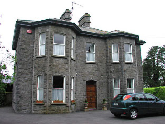 Saint Mary'spresbytery/parochial/curate's house · 481 yd
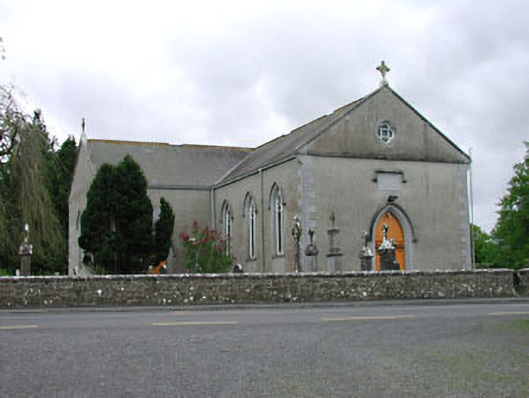 Saint Mary's Catholic Churchchurch/chapel · 554 yd
 European BeechEuropean Beech · 1.2 mi
 Green CastleCastle, unclassified · 1.2 mi
 Zip WireHeritage attraction · 1.4 mi
 European YewEuropean Yew · 1.5 mi
 Seafin HillMountain / peak · 1.6 mi
 C11Named rock · 2.2 mi
 Carnbane WestMountain / peak · 2.2 mi