What is recorded here
A mill is shown on the Down Survey (1655-6) Barony map to the N of a river and to the E of 'Trackton Abbey' (Tracton Abbey CO099-043003-). The precise location of this mill is not known.
The above description is derived from 'The Archaeological Inventory of County Cork. Volume 5' (Dublin: Stationery Office, 2009).
Date of upload: 22 December 2009
The monument record does not grant public access. Check the route and ask the landowner before entering private land.
- What survives
- Recorded monument
Places near here
 water pumpwater pump · 631 yd
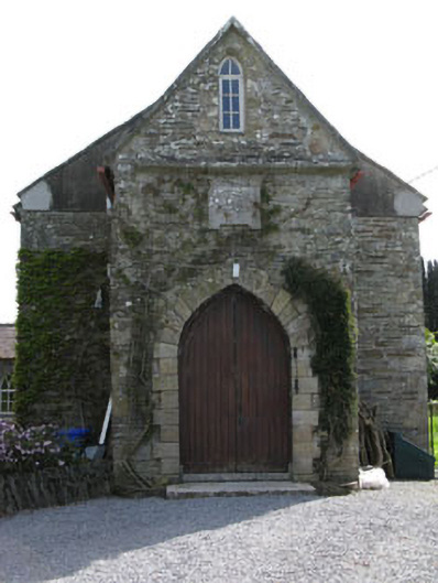 church/chapelchurch/chapel · 668 yd
 Kilpatrick WellHoly well · 862 yd
 Grave YardGraveyard · 1275 yd
 Castle (in Ruins)Castle, tower house · 3.2 mi
 Fountainstown BeachBeach / strand · 3.4 mi
 Rocky BayBeach / strand · 3.4 mi
 Cullen Castle (Site of)Castle, unclassified · 3.6 mi
 Coolmore WoodWood · 3.7 mi
 St Laitiarain's WellSpring · 3.9 mi
 New Foundland Bay viewViewpoint · 4.3 mi
 Creek Newfoundland BsyViewpoint · 4.4 mi