
What is recorded here
Near top of steep hill. Not marked on 1842 and 1902 OS 6-inch maps. Originally stone-lined; roof now collapsed; displaced stones visible. No longer in holy use.
The above description is derived from the published 'Archaeological Inventory of County Cork. Volume 2: East and South Cork' (Dublin: Stationery Office, 1994). In certain instances the entries have been revised and updated in the light of recent research.
Date of upload/revision: 14 January 2009
Images provided by and copyright of Amanda Clarke 2016-2022 https://holywellscorkandkerry.com/
Linked to Saint Patrick, the well may have been a site of early Christian pilgrimage or devotional practice, reflecting the widespread association of holy wells with the saint across Ireland. The name "Kilpatrick" (from "Cill Pádraig") suggests a church or cell once stood nearby, though no trace of it remains.
The monument record does not grant public access. Check the route and ask the landowner before entering private land.
- What survives
- Recorded monument
Places near here
 Fulacht fia in Kilpatrick (kinalea By.)Fulacht fia · 569 yd
 Grave Yard, Kilpatrick (kinalea By.)Graveyard · 629 yd
 house, Minane Bridgehouse · 882 yd
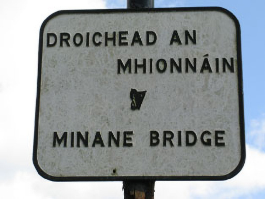 sign post, Minane Bridgesign post · 979 yd
 Castle (in Ruins), AghamartaCastle, tower house · 2.7 mi
 Fountainstown BeachBeach / strand · 3.0 mi
 Coolmore WoodWood · 3.2 mi
 Cogan's CastleCastle · 3.2 mi
 Rocky BayBeach / strand · 3.3 mi
 Loughbeg Bird ReserveNature reserve · 4.0 mi
 Crosshaven Tourist OfficeVisitor information · 4.2 mi
 St Laitiarain's WellSpring · 4.3 mi
Other information
Photo: Credit not shown in the picture search · Rights wording not checked; contact us if this picture should be removed