
What is recorded here
In tillage. Spread (10m x 6m) of burnt material, visible in ploughed field.
The above description is derived from the published 'Archaeological Inventory of County Cork. Volume 2: East and South Cork' (Dublin: Stationery Office, 1994). In certain instances the entries have been revised and updated in the light of recent research.
Date of upload/revision: 14 January 2009
The monument record does not grant public access. Check the route and ask the landowner before entering private land.
- What survives
- Recorded monument
Places near here
 Grave YardGraveyard · 193 yd
 Kilpatrick Church (in Ruins)Church · 214 yd
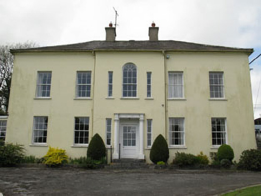 Willowhill Househouse · 510 yd
 Kilpatrick WellHoly well · 569 yd
 Castle (in Ruins)Castle, tower house · 2.4 mi
 Fountainstown BeachBeach / strand · 2.9 mi
 Cogan's CastleCastle · 2.9 mi
 Coolmore WoodWood · 2.9 mi
 Rocky BayBeach / strand · 3.5 mi
 Loughbeg Bird ReserveNature reserve · 3.7 mi
 Crosshaven Tourist OfficeVisitor information · 4.0 mi
 St Laitiarain's WellSpring · 4.4 mi
Other information
Photo: Credit not shown in the picture search · Rights wording not checked; contact us if this picture should be removed