What is recorded here
Moylagh Fort is a worn ringfort on a narrow Meath ridge where an Anglo-Norman motte and a church still occupy the same few dozen metres. The fort measures roughly thirty metres across, keeps a two-metre outer bank along part of its edge, and opens through both banks at the east-northeast. It is not a complete display of one age but a stacked ridge of lives: farm, faith, conquest and forgetting, all pressed into the same grass.
Moylagh Fort is recorded as a archaeological place in County Meath. Its open map record supplies this location and any linked names or public references.
Places near here
 Moylagh FortFairy fort / earthen ringfort · 1 yd
 Cross in MoylaghCross · 86 yd
 Moat CastleCastle, unclassified · 190 yd
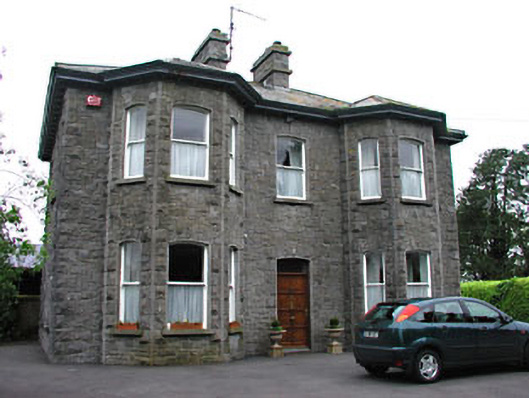 Saint Mary'spresbytery/parochial/curate's house · 669 yd
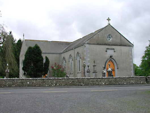 Saint Mary's Catholic Churchchurch/chapel · 735 yd
 European BeechEuropean Beech · 1.2 mi
 Green CastleCastle, unclassified · 1.3 mi
 Zip WireHeritage attraction · 1.4 mi
 European YewEuropean Yew · 1.5 mi
 Seafin HillMountain / peak · 1.7 mi
 C11Named rock · 2.2 mi
 Carnbane WestMountain / peak · 2.2 mi