What is recorded here
Fairy fort / earthen ringfort in Mauganstown is a fairy fort or earthen ringfort in Mauganstown, County Tipperary, Ireland. The bivallate site measures 22.7 metres from northeast to southwest and holds a flat-topped inner bank, a deep ditch, and a separate outer bank. A slight outer ditch remains visible only in the northwest quadrant, while quarrying removed the inner bank and interior in the south quadrant.
On a gradual NE-facing slope in gently undulating terrain, with tillage to E,S and W. Field boundary runs E-W along N edge of ringfort with pasture on N side. Bivallate ringfort (diam. 22.7m NE-SW) enclosed by a flat-topped inner bank (Wth 8.9m; int. H 1.1m; ext. H 2.2m), fosse (Wth 4.1m; D 1.43m) and flat-topped outer bank (Wth 8.2m; H 1.7m) and slight outer fosse visible in the NW quadrant (Wth 2.4m; D 0.5m). Both banks are earthen with small boulders visible in places. The S quadrant has been quarried into removing the inner bank and interior in that sector. In the N sector a portion of the outer bank appears to have been quarried although this is obscured by vegetation. Ringfort is relatively clean though trees are growing on the banks. Gap (Wth 5.3m) in the S quadrant may be the original entrance though it has been widened to allow access to the quarry.
Compiled by: Jean Farrelly
Date of upload: 26 August 2011
The monument record does not grant public access. Check the route and ask the landowner before entering private land.
- What survives
- Recorded monument
Places near here
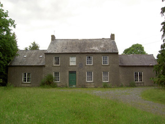 Mauganstown Housecountry house · 428 yd
 Enclosure in BallynarahaEnclosure · 1485 yd
 IndicatedHoly well · 1544 yd
 Glen Castle (in ruins)Castle, tower house · 1.0 mi
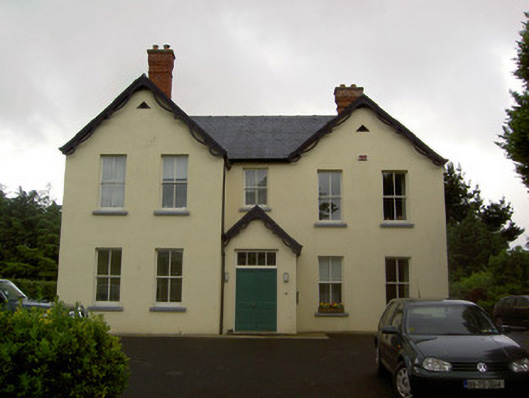 Clashaniska Househouse · 1.1 mi
 Ballydine Ho.Castle, unclassified · 1.2 mi
 Maurice DavinMemorial · 1.6 mi
 Pedunculate OakPedunculate Oak · 2.0 mi
 Kilcash WoodForest · 2.1 mi
 CarrigcoumMountain / peak · 2.3 mi
 Carrigaloe RockNamed rock · 2.4 mi
 Thomas KielyMemorial · 2.5 mi