
What is recorded here
The fairy fort or earthen ringfort in Marlow, Gortnaskehy (Clogher parish) is in County Tipperary, Ireland. Its slightly raised circular area measures 22 metres east to west and 23 metres north to south on a northwest-facing slope. An earth-and-stone bank, reduced to a scarp in places, encloses it, with a possible ditch from north to west that may be modern. A possible five-metre entrance gap lies at southeast.
On a NW-facing slope of rising ground with good views in all directions. A slightly raised circular area (diam. 22m E-W; 23m N-S) enclosed by an earth and stone bank (top Wth 1.5-2.5m; base Wth 6m; int. H 0.3-0.7m; ext. H 0.5) best preserved from S through W to N, elsewhere it has been reduced to a scarp (H 1.7m). There is a possible fosse (Wth 2.5m) from N to W only, which may be modern as it is intersected by a townland boundary which is constructed from stone with good evidence of external stone facing. There is a possible entrance gap (Wth 5m) at the SE. There has been recent clearance of scrub in the interior as evidenced by a slight mound of freshly dug earth.
Compiled by: Jean Farrelly
Date of upload: 26 August 2011
The monument record does not grant public access. Check the route and ask the landowner before entering private land.
- What survives
- Recorded monument
Places near here
 Megalithic structure in Corbally (clogher Par.)Megalithic structure · 715 yd
 Graigone Castle (in ruins)House, fortified house · 1041 yd
 Clonoulty HillMountain / peak · 1095 yd
 Enclosure in MarlowEnclosure · 1171 yd
 RoadRoad, road/trackway · 1184 yd
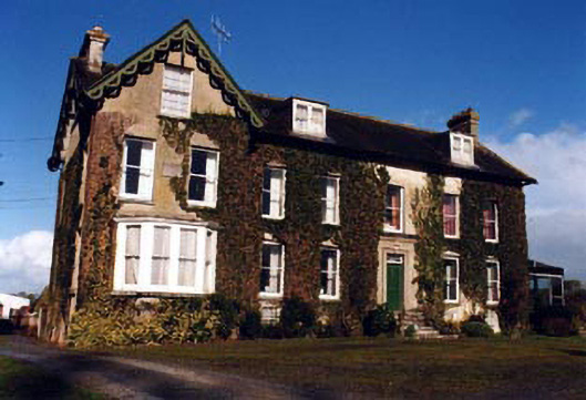 Marlow Househouse · 1259 yd
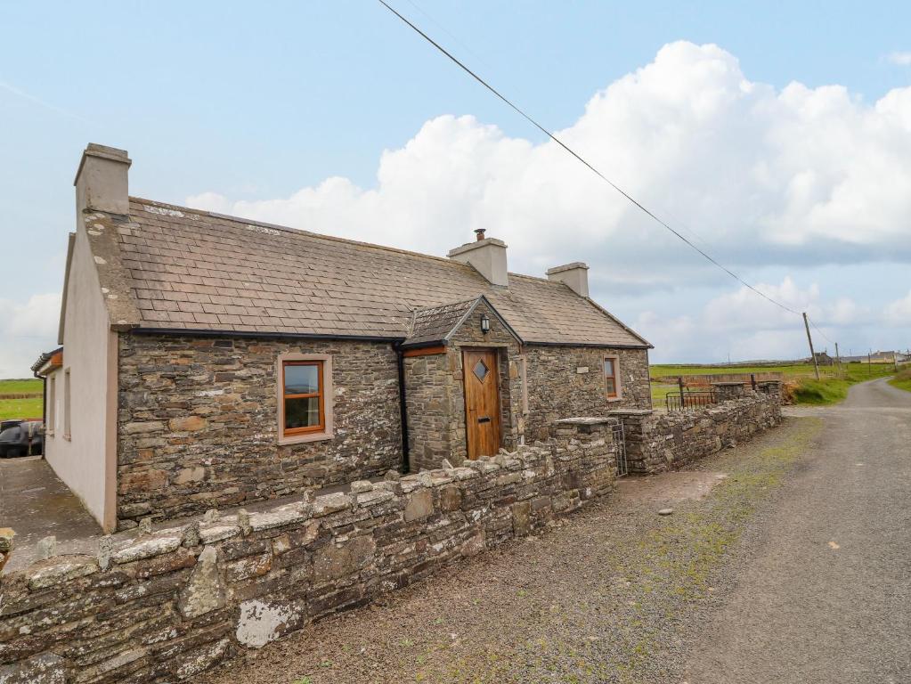 Bawn in ClogherBawn · 1337 yd
 Drum WoodWood · 1.4 mi
 Ring HillMountain / peak · 4.0 mi
 Wych ElmWych Elm · 4.7 mi
 Cormackstown Heritage CentreMuseum · 4.8 mi
 Soloheadbeg Ambushambush · 11 mi
Other information
Photo: Credit not shown in the picture search · Rights wording not checked; contact us if this picture should be removed