What is recorded here
Manning Castle shadows a cluster of five ancient ringforts, including one buried beneath pasture and brambles. The main fort measures forty-eight metres across, bounded by a stone bank tall enough to block the horizon but low enough for children to climb. Its south-east entrance still faces the land, inviting entry into a space where human hands shaped the earth long before written memory.
In undulating pasture, c. 350m to N of River Funshion and c. 200m NNW of Manning Castle (CO027-087---). Circular slightly raised area (48m E-W; 44m N-S) enclosed by dump-constructed stone bank (int. H 1.5m; ext. H 1.1m). Entrance (Wth 4m) to SSE. Narrow break in bank to W. Bank and interior overgrown. One of a group of five ringforts at W side of townland; CO027-089--- c. 200m to NNE; CO027-092--- c. 400m to NE; CO027-093--- c. 90m to ENE; CO027-094--- c. 370m to ENE.
The above description is derived from the published 'Archaeological Inventory of County Cork. Volume 4: North Cork' (Dublin: Stationery Office, 2000). In certain instances the entries have been revised and updated in the light of recent research.
Date of upload/revision: 14 January 2009
The monument record does not grant public access. Check the route and ask the landowner before entering private land.
- What survives
- Recorded monument
Places near here
 Manning HouseCountry house · 483 yd
 Man-made underground passageMan-made underground passage · 493 yd
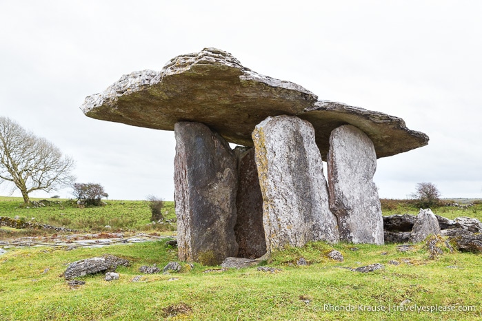 DolmenWedge tomb · 542 yd
 MillMill, unclassified · 662 yd
 Glanworth CastleCastle · 1538 yd
 Glanworth Castle (in Ruins)Castle, Anglo-Norman masonry castle · 1542 yd
 St Dominick's WellSpring · 1645 yd
 Graveyard in BoherashGraveyard · 1.0 mi
 Blackwater (Avondhu) WayWalking route · 4.2 mi
 Johnson's WoodForest · 4.3 mi
 Priest's WoodForest · 4.5 mi
 Flat cemetery in Ballyenahan NorthFlat cemetery · 4.8 mi