What is recorded here
Manning Castle stands as a broken tower on a Cork plateau, overlooking the Funshion River two hundred metres south. Its surviving walls barely reach three metres, yet they still mark the corner of a large grass-covered bawn where foundations trace a rectangle fifty-five metres wide. Stones and oak rafters from the ruin were carried southeast to build Manning House, transforming a defensive stronghold into domestic material. The castle did not disappear so much as it moved, reappearing in walls elsewhere while keeping its shadow on the river below.
On plateau, overlooking Funshion River c. 200m to S. Fragmentary remains of rectangular tower (H c. 3m), surrounded by mounds of rubble; located at SW corner of rectangular bawn whose grass-covered foundations can be traced enclosing area c. 55m E-W, c. 46m N-S (see plan Cotter 1994, 103-4). Remains of tower consist of S wall (L 8.2m) with returns of W wall (L 3m) and E wall (L 4.2m); N end of E wall ends in remains of S jamb of doorway, with traces of possible guard-room inside. Foundation of other structures can be traced within the bawn. Stones and some of oak rafters were used in building of Manning House (14915) c. 250m to SE (Grove White 1905-25, vol. 3, 146). A Condon castle, granted to Hyde in 1588 (ibid.).
The above description is derived from the published 'Archaeological Inventory of County Cork. Volume 4: North Cork' (Dublin: Stationery Office, 2000). In certain instances the entries have been revised and updated in the light of recent research.
Date of upload/revision: 14 January 2009
The monument record does not grant public access. Check the route and ask the landowner before entering private land.
- What survives
- Recorded monument
Places near here
 Manning HouseCountry house · 285 yd
 MillMill, unclassified · 468 yd
 Man-made underground passageMan-made underground passage · 701 yd
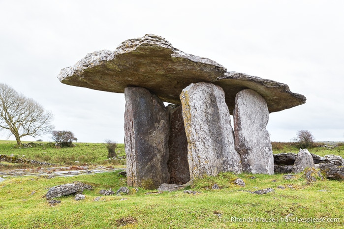 DolmenWedge tomb · 713 yd
 Glanworth CastleCastle · 1706 yd
 Glanworth Castle (in Ruins)Castle, Anglo-Norman masonry castle · 1710 yd
 St Dominick's WellSpring · 1.0 mi
 Graveyard in BoherashGraveyard · 1.1 mi
 Blackwater (Avondhu) WayWalking route · 4.2 mi
 Johnson's WoodForest · 4.2 mi
 Priest's WoodForest · 4.5 mi
 Flat cemetery in Ballyenahan NorthFlat cemetery · 4.9 mi